
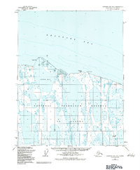
1955 Map of Harrison Bay D-5
USGS Topo · Published 1967About this map
Beaufort Sea waters meet the low-lying shoreline of northern Alaska in this mid-century survey, revealing a landscape defined by seasonal ice and shifting silt. The map documents a critical transition in the Arctic coastal environment, centered on the protected waters of Pogik Bay. An Eskimo Trading Post (Abandoned) stands on the eastern shore near Cameron Point, serving as a silent marker of earlier commercial patterns and traditional subsistence routes that once thrived along these reaches. The terrain is characterized by a dense network of unnamed lakes and lagoons, typical of the permafrost-underlain North Slope. Prominent coastal features like Pogik Point provide the only significant landmarks for navigation in an area where land and water frequently intermingle.
Find a feature on this map
7 named features on this map. Tap any name to fly to it.
Don’t see what you’re looking for? This feature index may not catch every label — zoom into the map to look around manually.
Map Details
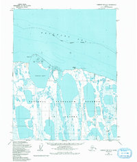
Editions of this 1955 Harrison Bay D-5 Map
3 editions found
Other maps of this area

1951 · Harrison Bay
USGS Topo · 1:250,000

1951 · Teshekpuk
USGS Topo · 1:250,000

1955 · Harrison Bay
USGS Topo · 1:250,000

1955 · Teshekpuk
USGS Topo · 1:250,000

1955 · Harrison Bay D-4
USGS Topo · 1:63,360

1955 · Harrison Bay C-5
USGS Topo · 1:63,360

1955 · Teshekpuk D-1
USGS Topo · 1:63,360

1955 · Harrison Bay C-4
USGS Topo · 1:63,360
1955 · Teshekpuk C-1
USGS Topo · 1:63,360

1962 · Harrison Bay C-5
USGS Topo · 1:50,000