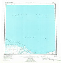
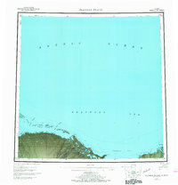
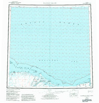
1955 Map of Flaxman Island
USGS Topo · Published 1970About this map
Flaxman Island and the coastal barrier chain of the Stockton Islands stand at the edge of the Beaufort Sea in this mid-century survey of Alaska's North Slope. The landscape is defined by the transition from the Arctic National Wildlife Range to the Arctic Ocean, marked by a series of points and bays including Bullen Pt and Camden Bay. Inland, the braided paths of the Canning River and Staines River dominate the drainage basin, indicating a terrain of complex glacial and alluvial activity.
Find a feature on this map
41 named features on this map. Tap any name to fly to it.
Don’t see what you’re looking for? This feature index may not catch every label — zoom into the map to look around manually.
Map Details
Editions of this 1955 Flaxman Island Map
7 editions found
Other maps of this area

1951 · Beechey Point
USGS Topo · 1:250,000

1951 · Barter Island
USGS Topo · 1:250,000

1951 · Sagavanirktok D-5
USGS Topo · 1:250,000

1951 · Demarcation Point
USGS Topo · 1:250,000

1951 · Mt. Michelson
USGS Topo · 1:250,000

1955 · Flaxman Island
USGS Topo · 1:250,000

1955 · Demarcation Point
USGS Topo · 1:250,000

1955 · Beechey Point
USGS Topo · 1:250,000

1955 · Mount Michelson D-5
USGS Topo · 1:63,360

1955 · Mount Michelson D-3
USGS Topo · 1:63,360