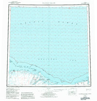
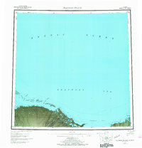
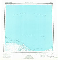
1955 Map of Flaxman Island
USGS Topo · Published 1983About this map
Flaxman Island and the neighboring barrier chains of the Beaufort Sea define this northern coastline, surveyed in the mid-1950s. The map illustrates a landscape of immense environmental importance, including the western reaches of the Arctic National Wildlife Refuge. Traces of human presence are sparse but significant, centered on the Leffingwell Camp National Historic Site and the isolated Bullen settlement. A series of intricate coastal waterways, such as Challenge Entrance and Mary Sachs Entrance, navigate between islands like Alaska Island and Duchess Island.
Find a feature on this map
33 named features on this map. Tap any name to fly to it.
Don’t see what you’re looking for? This feature index may not catch every label — zoom into the map to look around manually.
Map Details
Editions of this 1955 Flaxman Island Map
7 editions found
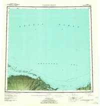
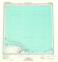
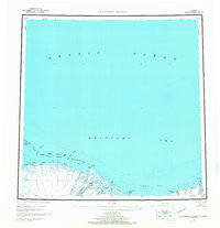
Other maps of this area

1951 · Beechey Point
USGS Topo · 1:250,000

1951 · Barter Island
USGS Topo · 1:250,000

1951 · Sagavanirktok D-5
USGS Topo · 1:250,000

1951 · Demarcation Point
USGS Topo · 1:250,000

1951 · Mt. Michelson
USGS Topo · 1:250,000

1955 · Flaxman Island
USGS Topo · 1:250,000

1955 · Demarcation Point
USGS Topo · 1:250,000

1955 · Beechey Point
USGS Topo · 1:250,000

1955 · Mount Michelson D-5
USGS Topo · 1:63,360

1955 · Mount Michelson D-3
USGS Topo · 1:63,360