
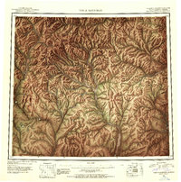
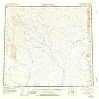
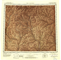
1951 Map of Table Mountain
USGS Topo · Published 1952About this map
The Davidson Mountains dominate this 1951 aerial and ground-based reconnaissance, marking a massive section of the eastern Brooks Range near the Alaska Yukon border. This survey represents a critical moment in Arctic mapping, utilizing 1943 trimetrogon photography to define a landscape defined by its complex drainage basins. The Coleen River serves as a primary artery through the central territory, while the Sheenjek River and its East Fork carve deep valleys through the western highlands. To the east, the United States Canada boundary line runs through high peaks like Ammerman Mountain and the distinctively flat-topped Table Mountain. This map documents a wilderness before extensive modern activity, preserving the original indigenous and explorer-given names of waterways such as the Old Crow River, Firth River, and Kongakut River.
Find a feature on this map
31 named features on this map. Tap any name to fly to it.
Don’t see what you’re looking for? This feature index may not catch every label — zoom into the map to look around manually.
Map Details
Editions of this 1951 Table Mountain Map
4 editions found
Other maps of this area

1951 · Demarcation Point
USGS Topo · 1:250,000

1951 · Coleen
USGS Topo · 1:250,000

1951 · Christian
USGS Topo · 1:250,000

1951 · Arctic
USGS Topo · 1:250,000

1951 · Mt. Michelson
USGS Topo · 1:250,000

1955 · Demarcation Point
USGS Topo · 1:250,000

1956 · Table Mountain
USGS Topo · 1:250,000

1956 · Coleen
USGS Topo · 1:250,000

1956 · Arctic
USGS Topo · 1:250,000

1956 · Mt. Michelson
USGS Topo · 1:250,000