
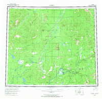
1956 Map of Coleen
USGS Topo · Published 1956About this map
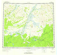
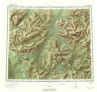
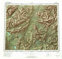
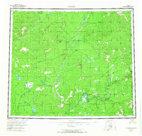
The Coleen River and Porcupine River dominate this interior Alaskan landscape, which reflects a period of transition as the Arctic National Wildlife Refuge was established. This region, documented during the mid-20th century, showcases the essential waterways that served as the primary transit corridors through the Yukon Flats and northern wilderness. Notable landmarks like the Upper Ramparts and the uniquely named Howling Dog Gate define the river navigation points, while a single Tractor Trail provides a rare terrestrial route across the drainage basins.
Find a feature on this map
54 named features on this map. Tap any name to fly to it.
Don’t see what you’re looking for? This feature index may not catch every label — zoom into the map to look around manually.
Map Details
Editions of this 1956 Coleen Map
9 editions found
Other maps of this area

1951 · Fort Yukon
USGS Topo · 1:250,000

1951 · Black River
USGS Topo · 1:250,000

1951 · Coleen
USGS Topo · 1:250,000

1951 · Christian
USGS Topo · 1:250,000

1951 · Arctic
USGS Topo · 1:250,000

1951 · Table Mountain
USGS Topo · 1:250,000

1956 · Table Mountain
USGS Topo · 1:250,000

1956 · Arctic
USGS Topo · 1:250,000

1956 · Coleen B-2
USGS Topo · 1:63,360

1956 · Black River D-6
USGS Topo · 1:63,360