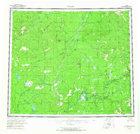
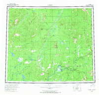
1956 Map of Coleen
USGS Topo · Published 1966About this map
The Coleen River winds through this northern Alaskan landscape toward its confluence with the Porcupine River, cutting through a territory defined by remote cabins and deep river canyons in the mid-1950s. The map documents the eastern edge of the Arctic Nat Wildlife Rfge and the international border between the United States and Canada. Small settlements and seasonal encampments such as Old Rampart, Old Camp, and Owens Cabins dot the riverbanks, marking the rare human presence in an area dominated by massive landmarks like Seven Dikes Mountain and the Upper Ramparts.
Find a feature on this map
47 named features on this map. Tap any name to fly to it.
Don’t see what you’re looking for? This feature index may not catch every label — zoom into the map to look around manually.
Map Details
Editions of this 1956 Coleen Map
9 editions found
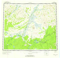
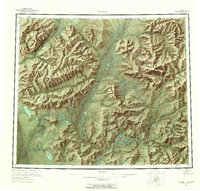
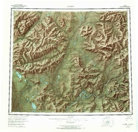
Other maps of this area

1951 · Fort Yukon
USGS Topo · 1:250,000

1951 · Black River
USGS Topo · 1:250,000

1951 · Coleen
USGS Topo · 1:250,000

1951 · Christian
USGS Topo · 1:250,000

1951 · Arctic
USGS Topo · 1:250,000

1951 · Table Mountain
USGS Topo · 1:250,000

1956 · Table Mountain
USGS Topo · 1:250,000

1956 · Coleen
USGS Topo · 1:250,000

1956 · Arctic
USGS Topo · 1:250,000

1956 · Coleen B-2
USGS Topo · 1:63,360