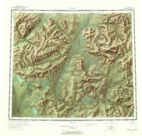
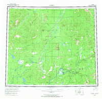
1956 Map of Coleen
USGS Topo · Published 1959About this map
The Porcupine River snakes through the southern portion of this region, serving as a primary corridor for travel and settlement in the mid-1950s. Near the Upper Ramparts, several small sites like Old Rampart and Old Camp suggest the transient nature of life in the Alaskan interior during this period. The landscape is defined by the drainages of the Sheenjek River and the Coleen River, which flow south between prominent peaks such as Shoulder Mountain and Rabbit Mountain.
Find a feature on this map
69 named features on this map. Tap any name to fly to it.
Don’t see what you’re looking for? This feature index may not catch every label — zoom into the map to look around manually.
Map Details
Editions of this 1956 Coleen Map
9 editions found
Other maps of this area

1951 · Fort Yukon
USGS Topo · 1:250,000

1951 · Black River
USGS Topo · 1:250,000

1951 · Coleen
USGS Topo · 1:250,000

1951 · Christian
USGS Topo · 1:250,000

1951 · Arctic
USGS Topo · 1:250,000

1951 · Table Mountain
USGS Topo · 1:250,000

1956 · Table Mountain
USGS Topo · 1:250,000

1956 · Coleen
USGS Topo · 1:250,000

1956 · Arctic
USGS Topo · 1:250,000

1956 · Coleen B-2
USGS Topo · 1:63,360