
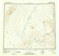
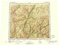
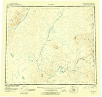
1951 Map of Coleen
USGS Topo · Published 1952About this map
The Porcupine River flows through this remote northern landscape where the United States Canada border meets the interior of Alaska. This mid-century reconnaissance survey captures a vast hydrological network defined by the Coleen River and the braided path of the Sheenjek River. Human presence is sparse, marked primarily by isolated outposts like Old Rampart and Owens Cabins, which likely served as crucial landmarks for trappers and travelers before modern aviation transformed northern transit. The terrain is punctuated by distinctive peaks such as Coleen Mountain and Rabbit Mountain, and notable water features including the Upper Ramparts and Smith Lake. The map serves as a record of the international boundary region's physical geography, including the Alaska Yukon line, at a time when much of the interior remained accessible only by water or wilderness trail.
Find a feature on this map
38 named features on this map. Tap any name to fly to it.
Don’t see what you’re looking for? This feature index may not catch every label — zoom into the map to look around manually.
Map Details
Editions of this 1951 Coleen Map
4 editions found
Other maps of this area

1951 · Fort Yukon
USGS Topo · 1:250,000

1951 · Black River
USGS Topo · 1:250,000

1951 · Christian
USGS Topo · 1:250,000

1951 · Arctic
USGS Topo · 1:250,000

1951 · Table Mountain
USGS Topo · 1:250,000

1956 · Table Mountain
USGS Topo · 1:250,000

1956 · Coleen
USGS Topo · 1:250,000

1956 · Arctic
USGS Topo · 1:250,000

1956 · Coleen B-2
USGS Topo · 1:63,360

1956 · Black River D-6
USGS Topo · 1:63,360