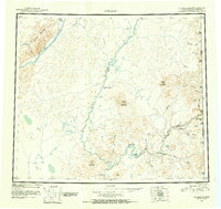
1951 Map of Coleen
USGS Topo · Published 1952About this map
The Porcupine River carves a winding path through the eastern interior of Alaska, serving as the primary drainage for a landscape defined by braided waterways and isolated outposts in the mid-20th century. This 1951 survey documents a sparsely settled territory along the United States Canada border, where small clusters of habitations like Old Rampart and Red Gate mark the few established points of human presence.
Find a feature on this map
40 named features on this map. Tap any name to fly to it.
Don’t see what you’re looking for? This feature index may not catch every label — zoom into the map to look around manually.
Map Details
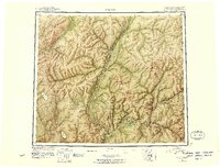
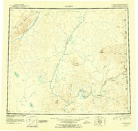
Editions of this 1951 Coleen Map
4 editions found
Other maps of this area

1951 · Fort Yukon
USGS Topo · 1:250,000

1951 · Black River
USGS Topo · 1:250,000

1951 · Coleen
USGS Topo · 1:250,000

1951 · Christian
USGS Topo · 1:250,000

1951 · Arctic
USGS Topo · 1:250,000

1951 · Table Mountain
USGS Topo · 1:250,000

1956 · Table Mountain
USGS Topo · 1:250,000

1956 · Coleen
USGS Topo · 1:250,000

1956 · Arctic
USGS Topo · 1:250,000

1956 · Coleen B-2
USGS Topo · 1:63,360