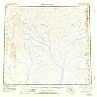
1951 Map of Table Mountain
USGS Topo · Published 1954About this map
The Davidson Mountains dominate this northern interior landscape, where the Coleen River and Sheenjek River systems drain through high elevations. This 1951 compilation, drawing from surveys dating back to 1912 and trimetrogon photography from 1943, illustrates the complex hydrology of the eastern Brooks Range before modern development. In the east, the United States Canada international boundary cuts across the watershed, separating the headwaters of the Firth River and Old Crow River. The presence of numerous named drainages like Joe Creek and Ammerman Creek indicates the importance of these watercourses for navigation and survey parties moving through the region. Elevations reach high points at Table Mountain and Ammerman Mountain, serving as primary navigational landmarks in a wilderness defined by its intricate network of river forks and creek beds.
Find a feature on this map
16 named features on this map. Tap any name to fly to it.
Don’t see what you’re looking for? This feature index may not catch every label — zoom into the map to look around manually.
Map Details
Editions of this 1951 Table Mountain Map
4 editions found
Other maps of this area

1951 · Demarcation Point
USGS Topo · 1:250,000

1951 · Coleen
USGS Topo · 1:250,000

1951 · Christian
USGS Topo · 1:250,000

1951 · Arctic
USGS Topo · 1:250,000

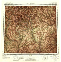
1951 · Table Mountain
USGS Topo · 1:250,000

1951 · Mt. Michelson
USGS Topo · 1:250,000

1955 · Demarcation Point
USGS Topo · 1:250,000

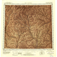
1956 · Table Mountain
USGS Topo · 1:250,000

1956 · Coleen
USGS Topo · 1:250,000

1956 · Arctic
USGS Topo · 1:250,000