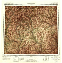
1951 Map of Table Mountain
USGS Topo · Published 1952About this map
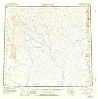
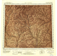
The Brooks Range and the Davidson Mountains dominate this remote northern Alaskan landscape, as documented by the Department of the Interior Geological Survey and the International Boundary Commission in the mid-twentieth century. This survey records a vast, high-altitude drainage system along the Alaska Yukon border, where the Coleen River and the East Fork Sheenjek River originate among jagged peaks like Table Mountain. The terrain is defined by its massive water network, including the Firth River and Kongakut River flowing north, while the Old Crow River and Bilwaddy Creek stretch toward the southeast. The map reveals the intricate topographic detail of an era before modern satellite imagery, utilizing trimetrogon photography from 1943 to capture the precise elevation of numerous survey points including Ammerman Mountain and various Vabm benchmarks that served as vital markers for early arctic aviation and boundary surveying.
Find a feature on this map
30 named features on this map. Tap any name to fly to it.
Don’t see what you’re looking for? This feature index may not catch every label — zoom into the map to look around manually.
Map Details
Editions of this 1951 Table Mountain Map
4 editions found
Other maps of this area

1951 · Demarcation Point
USGS Topo · 1:250,000

1951 · Coleen
USGS Topo · 1:250,000

1951 · Christian
USGS Topo · 1:250,000

1951 · Arctic
USGS Topo · 1:250,000

1951 · Table Mountain
USGS Topo · 1:250,000

1951 · Mt. Michelson
USGS Topo · 1:250,000

1955 · Demarcation Point
USGS Topo · 1:250,000

1956 · Table Mountain
USGS Topo · 1:250,000

1956 · Coleen
USGS Topo · 1:250,000

1956 · Arctic
USGS Topo · 1:250,000