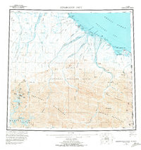
1955 Map of Demarcation Point
USGS Topo · Published 1973About this map
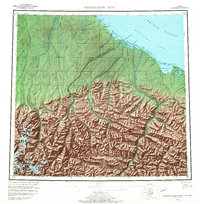
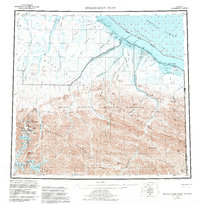
The Alaska Yukon border defines the eastern edge of this landscape, where the northernmost reaches of the Brooks Range meet the Arctic Ocean. High peaks of the Romanzof Mountains, including Mt Isto and Mt Hubley, overlook a complex system of glaciers and braided rivers that flow toward the Beaufort Sea. The map captures the coastal transition at Demarcation Bay, where the United States Canada international boundary intersects the shoreline near the former settlement of Gordon (Aband).
Find a feature on this map
99 named features on this map. Tap any name to fly to it.
Don’t see what you’re looking for? This feature index may not catch every label — zoom into the map to look around manually.
Map Details
Editions of this 1955 Demarcation Point Map
8 editions found
Other maps of this area

1951 · Barter Island
USGS Topo · 1:250,000

1951 · Demarcation Point
USGS Topo · 1:250,000

1951 · Arctic
USGS Topo · 1:250,000

1951 · Table Mountain
USGS Topo · 1:250,000

1951 · Mt. Michelson
USGS Topo · 1:250,000

1955 · Flaxman Island
USGS Topo · 1:250,000

1955 · Demarcation Point
USGS Topo · 1:250,000

1955 · Mount Michelson B-1
USGS Topo · 1:63,360

1955 · Mount Michelson C-1
USGS Topo · 1:63,360

1955 · Demarcation Point C-5
USGS Topo · 1:63,360