
1955 Map of Flaxman Island A-1
USGS Topo · Published 1967About this map
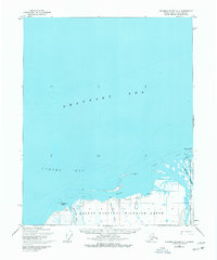
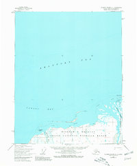
The Arctic National Wildlife Range dominates the shoreline of the Beaufort Sea in this mid-1950s survey of Alaska's northern coast. The landscape is defined by the braided deltas of the Okpilak River and Hulahula River, which flow northward into the Arctic waters alongside Sadlerochit River. Evidence of human movement through this remote coastal environment is visible in the form of a Tractor Trail that skirts the coast near Anderson Point. Coastal features like Arey Island and the shallow waters of Camden Bay are meticulously charted, with hydrographic data integrated from USC&GS charts. Smaller drainages such as Kajutakrok Creek and Nataragarok Creek highlight the intricate drainage patterns that characterize this tundra region before later twentieth-century developments.
Find a feature on this map
11 named features on this map. Tap any name to fly to it.
Don’t see what you’re looking for? This feature index may not catch every label — zoom into the map to look around manually.
Map Details
Editions of this 1955 Flaxman Island A-1 Map
3 editions found
Other maps of this area

1951 · Barter Island
USGS Topo · 1:250,000

1951 · Demarcation Point
USGS Topo · 1:250,000

1951 · Mt. Michelson
USGS Topo · 1:250,000

1955 · Flaxman Island
USGS Topo · 1:250,000

1955 · Demarcation Point
USGS Topo · 1:250,000

1955 · Mount Michelson D-2
USGS Topo · 1:63,360

1955 · Barter Island A-5
USGS Topo · 1:63,360

1955 · Mount Michelson D-1
USGS Topo · 1:63,360

1955 · Demarcation Point D-5
USGS Topo · 1:63,360

1956 · Mt. Michelson
USGS Topo · 1:250,000