2022 Map of DeMotte
USGS Topo · Published 2022About this map
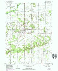
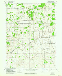
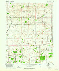
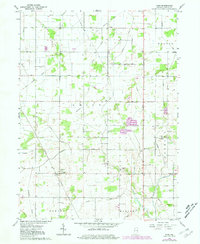
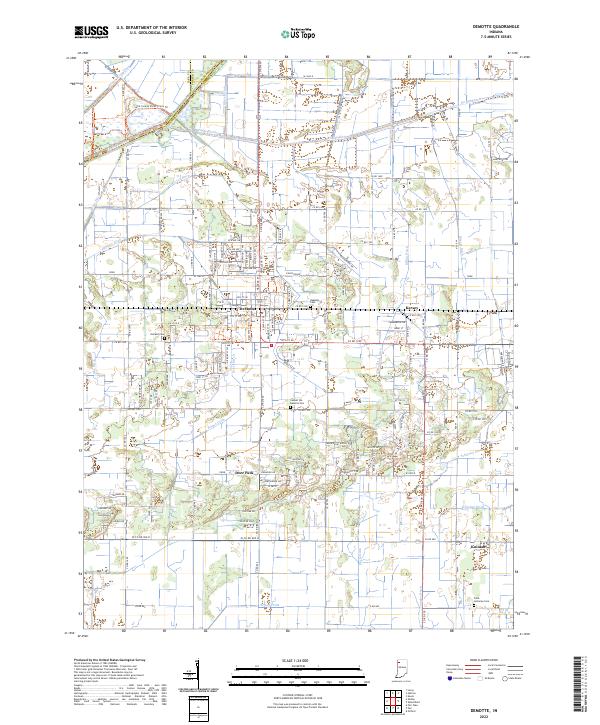
DeMotte and the surrounding plains of Jasper County are defined by an intricate network of drainage systems essential to this agricultural landscape. The northern boundary is marked by the Kankakee River, which is supported by numerous man-made channels such as Hodge Ditch, Tyler Ditch, and Bent Ditch. These waterways illustrate the long-term engineering required to manage the marshy terrain of the Kankakee Valley. Small communities like Deer Park, Kersey, and Kniman dot the grid, connected by local routes such as Co RD 1200 and W Co RD 900 N. Local heritage is preserved in sites like Holland Cem and the Faith Lutheran Cem in the south. Recent developments in recreation are visible through the DeMotte Trails Trl and the Lake County Parks-Trails Trl, which follow the historic transit corridors and county lines between Porter and Lake counties.
Find a feature on this map
57 named features on this map. Tap any name to fly to it.
Don’t see what you’re looking for? This feature index may not catch every label — zoom into the map to look around manually.
Map Details
Editions of this 2022 DeMotte Map
This is the sole edition of this map. No revisions or reprints were ever made.
Historical Maps of Kersey Through Time
8 maps found