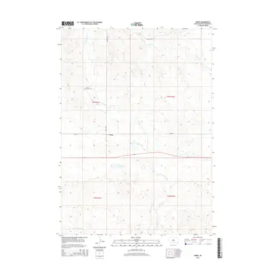
2015 Map of Denby
USGS Topo · Published 2015About this map
Denby serves as the primary point of settlement in this landscape of the Pine Ridge Reservation, positioned where Denby Rd intersects the local drainage systems. The terrain is defined by the winding course of Wounded Knee Cr and its tributaries, including Bartlett Cr and the distant E Prong Wolf Cr. Cultural landmarks are sparse but significant, notably the Native American Cem located to the northwest of the main settlement. Small water bodies like Denby Lake and Lee Lake punctuate the arid prairie, providing essential focal points for land management and local geography in this part of Oglala Lakota County. This survey illustrates the modern road network, including Wounded Knee Rd, as it integrates with traditional land divisions.
Find a feature on this map
13 named features on this map. Tap any name to fly to it.
Don’t see what you’re looking for? This feature index may not catch every label — zoom into the map to look around manually.
Map Details
Editions of this 2015 Denby Map
This is the sole edition of this map. No revisions or reprints were ever made.
Other maps of this area

1955 · Hot Springs
USGS Topo · 1:250,000

1955 · Alliance
USGS Topo · 1:250,000

1957 · Alliance
USGS Topo · 1:250,000

1958 · Alliance
USGS Topo · 1:250,000

1967 · Manderson
USGS Topo · 1:24,000

1967 · Manderson SW
USGS Topo · 1:24,000

1967 · Wounded Knee
USGS Topo · 1:24,000

1967 · Denby
USGS Topo · 1:24,000

1969 · Clinton NW
USGS Topo · 1:24,000

1969 · Clinton NE
USGS Topo · 1:24,000