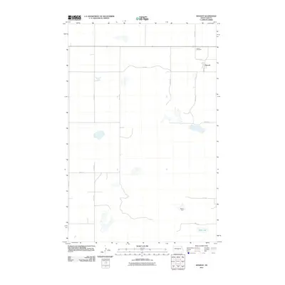
2011 Map of Denhoff
USGS Topo · Published 2011About this map
The settlement of Denhoff serves as the primary focal point of this Sheridan County landscape, characterized by the rigid, section-line geometry of the North Dakota prairie. The map documents the town's layout centered near Main St and 1st St, with the Denhoff Cemeteries positioned to the north as a key site for genealogical research. The surrounding terrain is punctuated by significant water features, including North Lake in the southeast and the engineering of Sperry Dam. This survey provides a clear view of the rural road network, with numbered thoroughfares like 9th Ave NE and 12th Ave NE defining the agricultural grid typical of the region's early 21st-century development.
Find a feature on this map
17 named features on this map. Tap any name to fly to it.
Don’t see what you’re looking for? This feature index may not catch every label — zoom into the map to look around manually.
Map Details
Editions of this 2011 Denhoff Map
This is the sole edition of this map. No revisions or reprints were ever made.
Other maps of this area

1946 · Sheyenne Lake
USGS Topo · 1:48,000

1947 · Lincoln Valley
USGS Topo · 1:62,500

1947 · Sheyenne Lake
USGS Topo · 1:62,500

1954 · McClusky
USGS Topo · 1:250,000

1958 · McClusky
USGS Topo · 1:250,000

1959 · McClusky
USGS Topo · 1:24,000

1960 · Lincoln Valley SE
USGS Topo · 1:24,000

1960 · Horse Lake
USGS Topo · 1:24,000

1960 · Florence Lake
USGS Topo · 1:24,000

1960 · Denhoff
USGS Topo · 1:24,000