Loading...
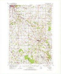
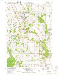
Loading map...1954 Map of Denmark
USGS Topo · Published 1967About this map
Green Bay and its southeastern rural hinterlands are captured during a period of agricultural dominance and steady expansion. The landscape is defined by the Chicago and North Western railroad corridor, which serves as the economic spine for settlements like Bellevue, Pine Grove, and Denmark. This survey reveals a dense network of one-room schoolhouses and parish churches that anchored these Wisconsin communities, including the Bungalow Sch and Holy Trinity Ch.
Find a feature on this map
81 named features on this map. Tap any name to fly to it.
Don’t see what you’re looking for? This feature index may not catch every label — zoom into the map to look around manually.
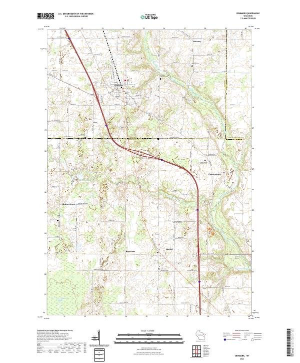
Map Details
Date Portrayed1954
Date Published1967
PublisherU.S. Geological Survey
Map TypeTopographic
Scale1:62,500
Physical Dimensions18.24 x 22.17 inches
Editions of this 1954 Denmark Map
2 editions found

Historical Maps of Green Bay Through Time
Featured Locations
Source Details
SourceU.S. Geological Survey
CopyrightPublic Domain