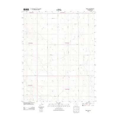
2013 Map of Denny Lake
USGS Topo · Published 2013About this map
Little Kansas Cem serves as a small anchor for local history in this rural portion of Bent County, where the high plains landscape is defined by its seasonal drainage systems. The hydrography of the region is traced by the paths of Dry Creek, East Dry Creek, and Mud Creek, while Ice-dam Spring provides a distinct point of interest near the county's western reach. A sprawling network of section roads, including Co Road 88 and Co Road Y, carves the land into a precise grid, reflecting the systematic organization of the Public Land Survey System across the prairie.
Find a feature on this map
28 named features on this map. Tap any name to fly to it.
Don’t see what you’re looking for? This feature index may not catch every label — zoom into the map to look around manually.
Map Details
Editions of this 2013 Denny Lake Map
This is the sole edition of this map. No revisions or reprints were ever made.
Other maps of this area

1892 · Lamar
USGS Topo · 1:125,000

1892 · Two Butte
USGS Topo · 1:125,000

1893 · Two Butte
USGS Topo · 1:125,000

1952 · Lamar West
USGS Topo · 1:24,000

1953 · Hasty
USGS Topo · 1:24,000

1953 · Prowers
USGS Topo · 1:24,000

1954 · Lamar
USGS Topo · 1:250,000

1955 · La Junta
USGS Topo · 1:250,000

1958 · La Junta
USGS Topo · 1:250,000

1958 · Lamar
USGS Topo · 1:250,000