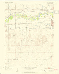
1952 Map of Lamar West
USGS Topo · Published 1954About this map
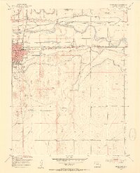
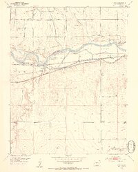
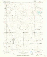
The Arkansas River corridor west of Lamar reveals a landscape defined by historic transit and complex irrigation engineering in the early 1950s. The northern banks are heavily managed by a network of ditches, including the Amity Canal and Vista Del Rio Ditch, which redirect water through a series of siphons to support the surrounding plains. Traces of the western migration era are preserved here as the Old Santa Fe Trail and the contemporary Santa Fe Trail parallel the Atchison Topeka and Santa Fe railroad line.
Find a feature on this map
24 named features on this map. Tap any name to fly to it.
Don’t see what you’re looking for? This feature index may not catch every label — zoom into the map to look around manually.
Map Details
Editions of this 1952 Lamar West Map
4 editions found
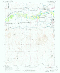
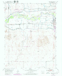
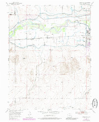
Other maps of this area

1892 · Lamar
USGS Topo · 1:125,000

1892 · Two Butte
USGS Topo · 1:125,000

1893 · Two Butte
USGS Topo · 1:125,000
1953 · Lamar East
USGS Topo · 1:24,000
1953 · Prowers
USGS Topo · 1:24,000

1954 · Lamar
USGS Topo · 1:250,000
1955 · McClave
USGS Topo · 1:24,000

1955 · May Valley
USGS Topo · 1:24,000
1955 · Wiley
USGS Topo · 1:24,000

1955 · La Junta
USGS Topo · 1:250,000