
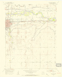
1953 Map of Lamar East
USGS Topo · Published 1954About this map
The Arkansas River valley defines this mid-century landscape, where a sophisticated network of irrigation and transportation supports the city of Lamar. In the early 1950s, the corridor is dominated by the Atchison Topeka and Santa Fe railroad and the Santa Fe Trail, tracing the historic path of western migration. The map reveals the intricate engineering required for prairie agriculture, featuring the Amity Canal, Lamar Canal, and the Lamar Waterworks. Beyond the urban grid and the Southeast Colorado Fairgrounds, the terrain transitions into the Big Timbers and the undulating breaks of Clay Creek and Willow Creek. Local genealogy and community life are grounded in landmarks like Riverside Cemetery, Mt Olive Ch, and rural educational outposts such as Clay Creek School and Paradox School.
Find a feature on this map
36 named features on this map. Tap any name to fly to it.
Don’t see what you’re looking for? This feature index may not catch every label — zoom into the map to look around manually.
Map Details
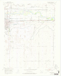
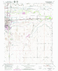
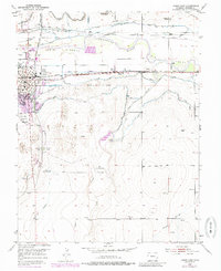
Editions of this 1953 Lamar East Map
5 editions found
Other maps of this area

1890 · Granada
USGS Topo · 1:125,000

1891 · Albany
USGS Topo · 1:125,000

1892 · Lamar
USGS Topo · 1:125,000

1892 · Granada
USGS Topo · 1:125,000

1892 · Two Butte
USGS Topo · 1:125,000

1893 · Two Butte
USGS Topo · 1:125,000

1893 · Albany
USGS Topo · 1:125,000

1894 · Granada
USGS Topo · 1:125,000

1952 · Lamar West
USGS Topo · 1:24,000

1952 · Carlton
USGS Topo · 1:24,000