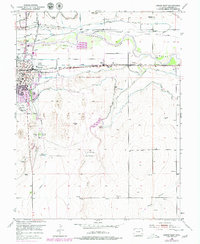
1953 Map of Lamar East
USGS Topo · Published 1979About this map
The Arkansas River corridor dominates this landscape, serving as the central artery for a complex network of irrigation that sustained Prowers County agriculture through the mid-20th century. Highlighting the region's reliance on water management, the map displays numerous channels like the Amity Canal, Lamar Canal, and Hyde Canal alongside the Aqueduct and Lamar Reservoirs. The industrial and transportation identity of Lamar is anchored by the Atchison Topeka and Santa Fe railroad, which parallels the path of the legendary Santa Fe Trail.
Find a feature on this map
32 named features on this map. Tap any name to fly to it.
Don’t see what you’re looking for? This feature index may not catch every label — zoom into the map to look around manually.
Map Details
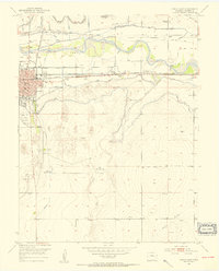
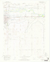
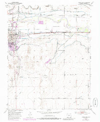
Editions of this 1953 Lamar East Map
5 editions found

Other maps of this area

1890 · Granada
USGS Topo · 1:125,000

1891 · Albany
USGS Topo · 1:125,000

1892 · Lamar
USGS Topo · 1:125,000

1892 · Granada
USGS Topo · 1:125,000

1892 · Two Butte
USGS Topo · 1:125,000

1893 · Two Butte
USGS Topo · 1:125,000

1893 · Albany
USGS Topo · 1:125,000

1894 · Granada
USGS Topo · 1:125,000

1952 · Lamar West
USGS Topo · 1:24,000

1952 · Carlton
USGS Topo · 1:24,000