
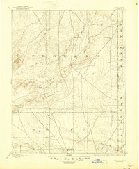
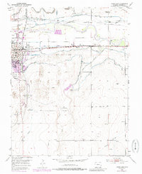
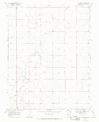
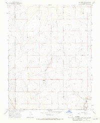
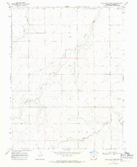
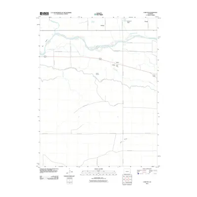
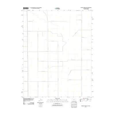
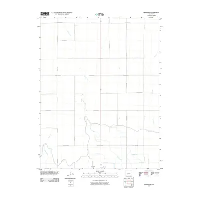
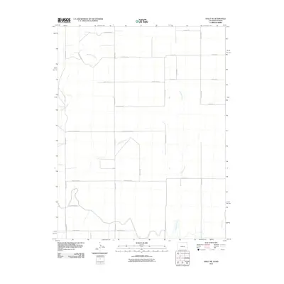
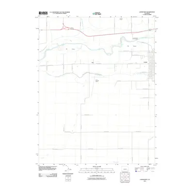
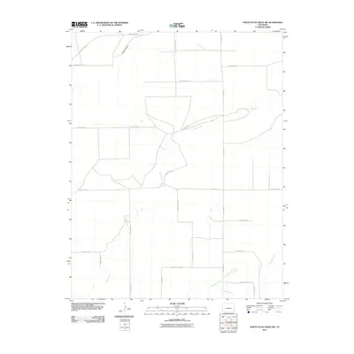
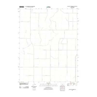
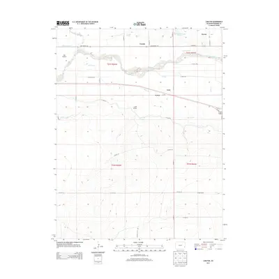
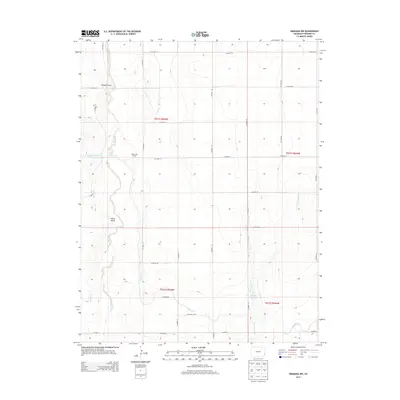
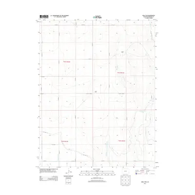
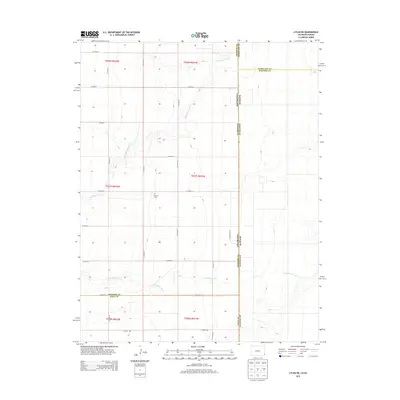
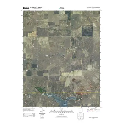
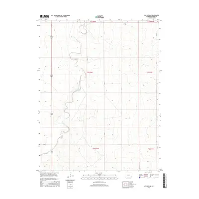
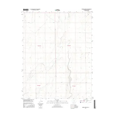
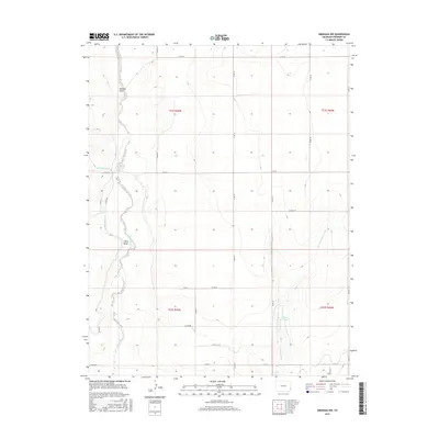
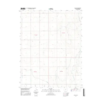
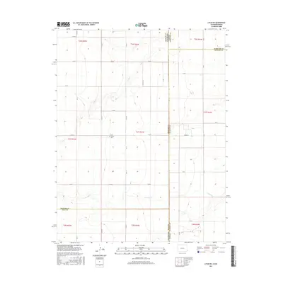
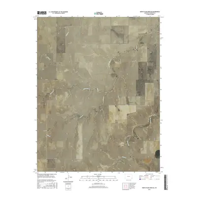
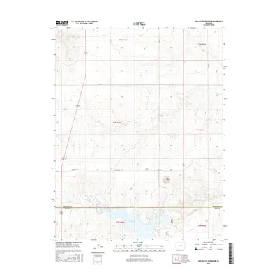
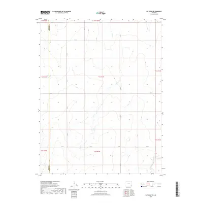
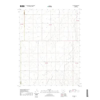
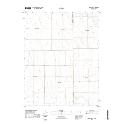
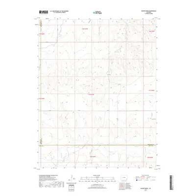
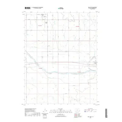
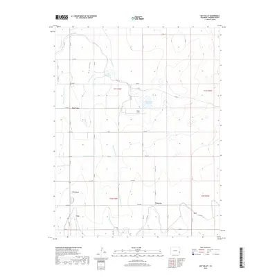
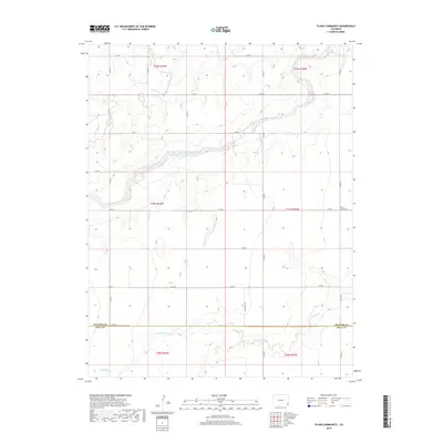
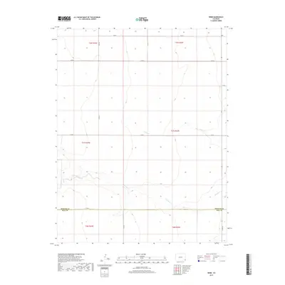
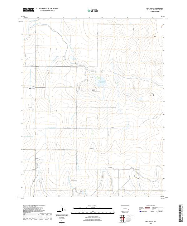
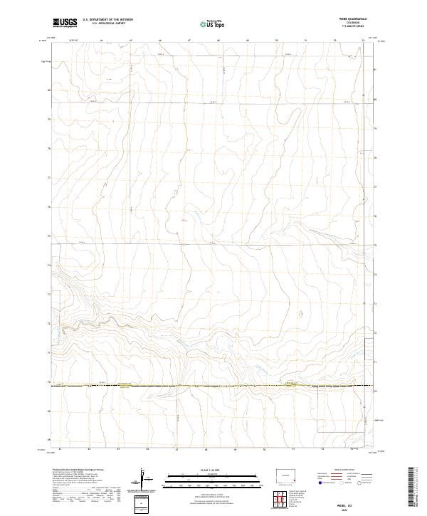
1955 Map of May Valley
USGS Topo · Published 1956About this map
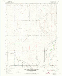
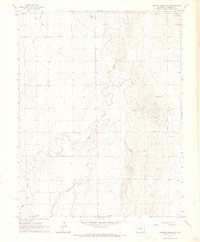
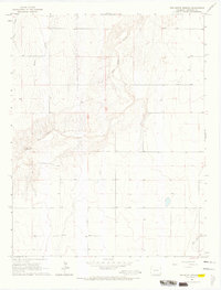
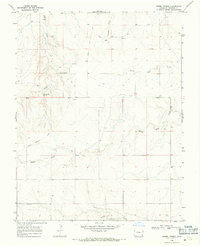
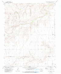
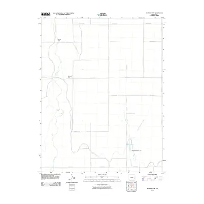
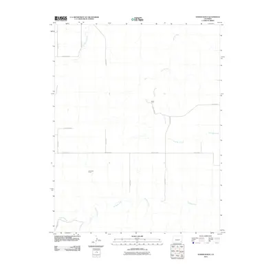
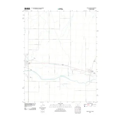
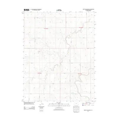
The agricultural landscape of Prowers County is defined by an intricate network of irrigation systems and small rural school districts during the mid-1950s. The Fort Lyon Canal and Pawnee Canal snake through the northern terrain, feeding smaller channels like the James Lateral to support the plains' farming economy. Rural education is a visible cornerstone of the community, with the May Valley Sch, Hopewell Sch, and Alta Vista Sch serving local families, while the Channing Sch (Aband) marks the shifting demographics of the era.
Find a feature on this map
30 named features on this map. Tap any name to fly to it.
Don’t see what you’re looking for? This feature index may not catch every label — zoom into the map to look around manually.
Map Details
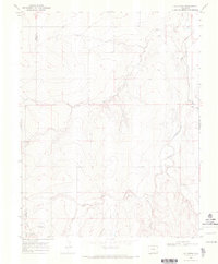
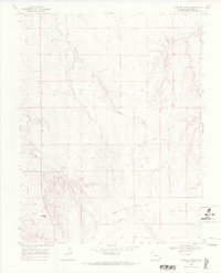
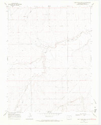
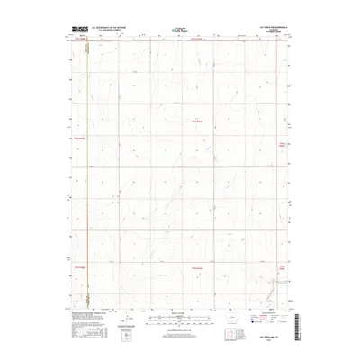
Editions of this 1955 May Valley Map
This is the sole edition of this map. No revisions or reprints were ever made.
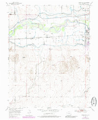
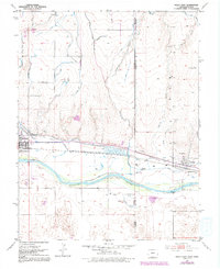
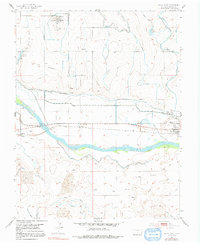
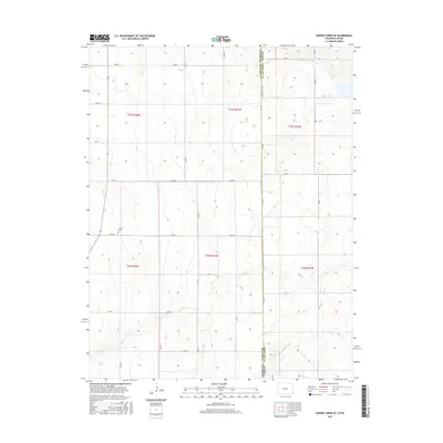
Historical Maps of Kornman Through Time
171 maps found

1891 Albany
Prowers County, CO
1893 Albany
Prowers County, CO

1952 Carlton
Prowers County, CO
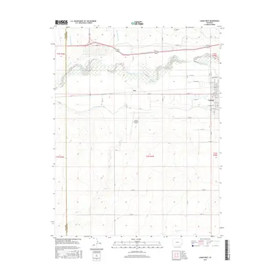
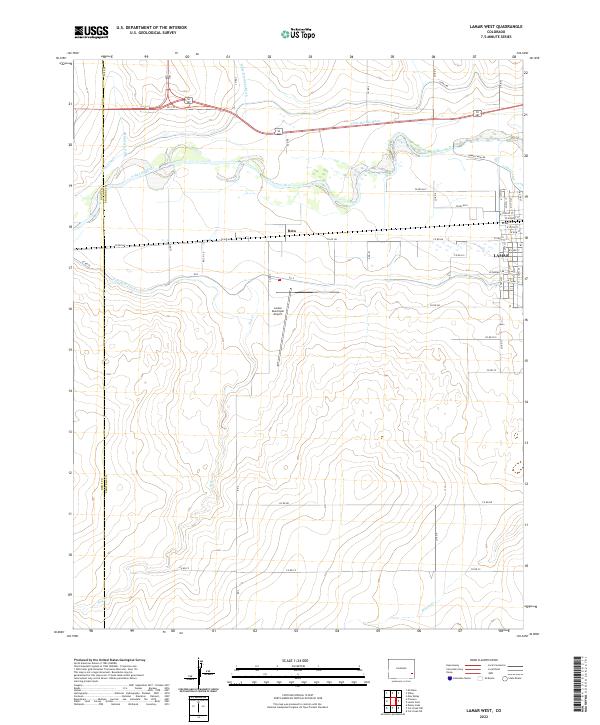
1952 Lamar West
Prowers County, CO
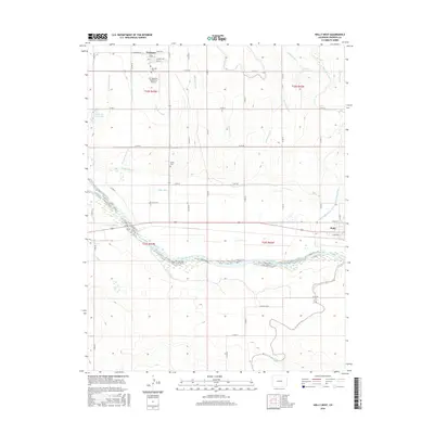
1953 Holly East
Prowers County, CO
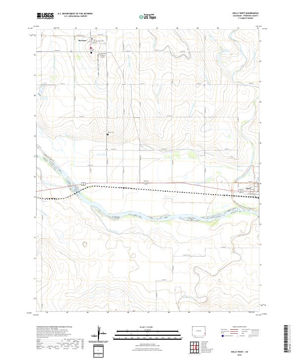
1953 Holly West
Prowers County, CO
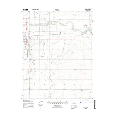
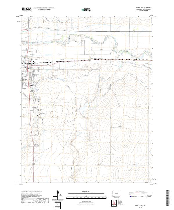
1953 Lamar East
Prowers County, CO
1955 Granada NE
Prowers County, CO
1955 Granada NW
Prowers County, CO
1955 Holly NE
Prowers County, CO
1955 Holly NW
Prowers County, CO
1955 May Valley
Prowers County, CO

1966 Durkee Creek NE
Prowers County, CO
1966 Durkee Creek NW
Prowers County, CO

1966 Durkee Creek SE
Prowers County, CO
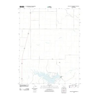
1966 Two Butte Springs
Prowers County, CO
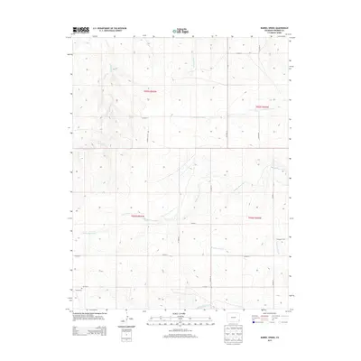
1968 Barrel Spring
Prowers County, CO
1968 Cat Creek NE
Prowers County, CO
1968 Cat Creek NW
Prowers County, CO
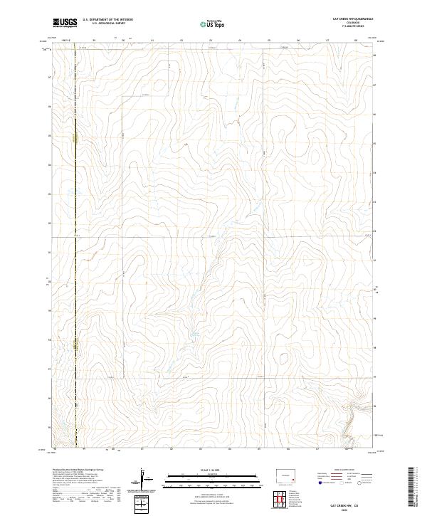
1968 Cat Creek
Prowers County, CO
1968 Gobblers Knob
Prowers County, CO
1968 North Plum Creek NE
Prowers County, CO
1968 North Plum Creek NW
Prowers County, CO
1968 North Plum Creek SE
Prowers County, CO
1971 Hasser Ranch
Prowers County, CO

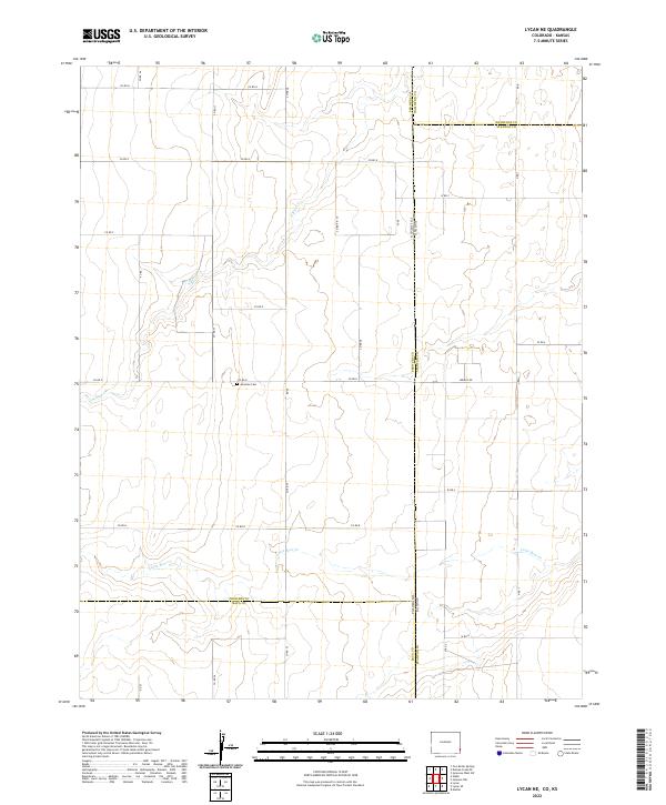
1971 Lycan NE
Prowers County, CO
1971 Plains Community
Prowers County, CO
1971 Two Buttes NW
Prowers County, CO
1971 Two Buttes Reservoir
Prowers County, CO

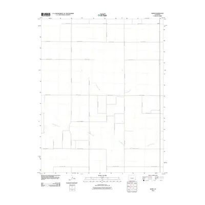
1971 Webb
Prowers County, CO

1984 Two Buttes Reservoir
Prowers County, CO
2010 Barrel Spring
Prowers County, CO
2010 Carlton
Prowers County, CO
2010 Cat Creek NE
Prowers County, CO
2010 Cat Creek NW
Prowers County, CO
2010 Cat Creek
Prowers County, CO
2010 Durkee Creek NE
Prowers County, CO
2010 Durkee Creek NW
Prowers County, CO
2010 Durkee Creek SE
Prowers County, CO
2010 Gobblers Knob
Prowers County, CO
2010 Granada NE
Prowers County, CO
2010 Granada NW
Prowers County, CO
2010 Hasser Ranch
Prowers County, CO
2010 Holly East
Prowers County, CO
2010 Holly NE
Prowers County, CO
2010 Holly NW
Prowers County, CO
2010 Holly West
Prowers County, CO
2010 Lamar East
Prowers County, CO
2010 Lamar West
Prowers County, CO
2010 Lycan NE
Prowers County, CO
2010 May Valley
Prowers County, CO
2010 North Plum Creek NE
Prowers County, CO
2010 North Plum Creek NW
Prowers County, CO
2010 North Plum Creek SE
Prowers County, CO
2010 Plains Community
Prowers County, CO
2010 Two Buttes NW
Prowers County, CO
2010 Two Butte Springs
Prowers County, CO
2010 Two Buttes Reservoir
Prowers County, CO
2010 Webb
Prowers County, CO
2013 Barrel Spring
Prowers County, CO
2013 Carlton
Prowers County, CO
2013 Cat Creek NE
Prowers County, CO
2013 Cat Creek NW
Prowers County, CO
2013 Cat Creek
Prowers County, CO
2013 Durkee Creek NE
Prowers County, CO
2013 Durkee Creek NW
Prowers County, CO
2013 Durkee Creek SE
Prowers County, CO

2013 Gobblers Knob
Prowers County, CO
2013 Granada NE
Prowers County, CO
2013 Granada NW
Prowers County, CO
2013 Hasser Ranch
Prowers County, CO
2013 Holly East
Prowers County, CO
2013 Holly NE
Prowers County, CO
2013 Holly NW
Prowers County, CO
2013 Holly West
Prowers County, CO
2013 Lamar East
Prowers County, CO
2013 Lamar West
Prowers County, CO
2013 Lycan NE
Prowers County, CO
2013 May Valley
Prowers County, CO
2013 North Plum Creek NE
Prowers County, CO
2013 North Plum Creek NW
Prowers County, CO
2013 North Plum Creek SE
Prowers County, CO
2013 Plains Community
Prowers County, CO
2013 Two Buttes NW
Prowers County, CO
2013 Two Butte Springs
Prowers County, CO
2013 Two Buttes Reservoir
Prowers County, CO
2013 Webb
Prowers County, CO
2016 Barrel Spring
Prowers County, CO
2016 Carlton
Prowers County, CO
2016 Cat Creek NE
Prowers County, CO
2016 Cat Creek NW
Prowers County, CO
2016 Cat Creek
Prowers County, CO
2016 Durkee Creek NE
Prowers County, CO
2016 Durkee Creek NW
Prowers County, CO
2016 Durkee Creek SE
Prowers County, CO
2016 Gobblers Knob
Prowers County, CO
2016 Granada NE
Prowers County, CO
2016 Granada NW
Prowers County, CO
2016 Hasser Ranch
Prowers County, CO
2016 Holly East
Prowers County, CO
2016 Holly NE
Prowers County, CO
2016 Holly NW
Prowers County, CO
2016 Holly West
Prowers County, CO
2016 Lamar East
Prowers County, CO
2016 Lamar West
Prowers County, CO
2016 Lycan NE
Prowers County, CO
2016 May Valley
Prowers County, CO
2016 North Plum Creek NE
Prowers County, CO
2016 North Plum Creek NW
Prowers County, CO
2016 North Plum Creek SE
Prowers County, CO
2016 Plains Community
Prowers County, CO
2016 Two Buttes NW
Prowers County, CO
2016 Two Butte Springs
Prowers County, CO
2016 Two Buttes Reservoir
Prowers County, CO

2016 Webb
Prowers County, CO
2019 Barrel Spring
Prowers County, CO
2019 Carlton
Prowers County, CO
2019 Cat Creek NE
Prowers County, CO
2019 Cat Creek NW
Prowers County, CO
2019 Cat Creek
Prowers County, CO
2019 Durkee Creek NE
Prowers County, CO
2019 Durkee Creek NW
Prowers County, CO
2019 Durkee Creek SE
Prowers County, CO
2019 Gobblers Knob
Prowers County, CO
2019 Granada NE
Prowers County, CO
2019 Granada NW
Prowers County, CO
2019 Hasser Ranch
Prowers County, CO
2019 Holly East
Prowers County, CO
2019 Holly NE
Prowers County, CO
2019 Holly NW
Prowers County, CO
2019 Holly West
Prowers County, CO
2019 Lamar East
Prowers County, CO
2019 Lamar West
Prowers County, CO
2019 Lycan NE
Prowers County, CO
2019 May Valley
Prowers County, CO
2019 North Plum Creek NE
Prowers County, CO
2019 North Plum Creek NW
Prowers County, CO
2019 North Plum Creek SE
Prowers County, CO
2019 Plains Community
Prowers County, CO
2019 Two Buttes NW
Prowers County, CO
2019 Two Butte Springs
Prowers County, CO
2019 Two Buttes Reservoir
Prowers County, CO
2019 Webb
Prowers County, CO
2022 Barrel Spring
Prowers County, CO
2022 Carlton
Prowers County, CO
2022 Cat Creek NE
Prowers County, CO
2022 Cat Creek NW
Prowers County, CO
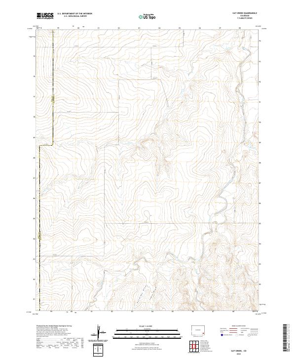
2022 Cat Creek
Prowers County, CO
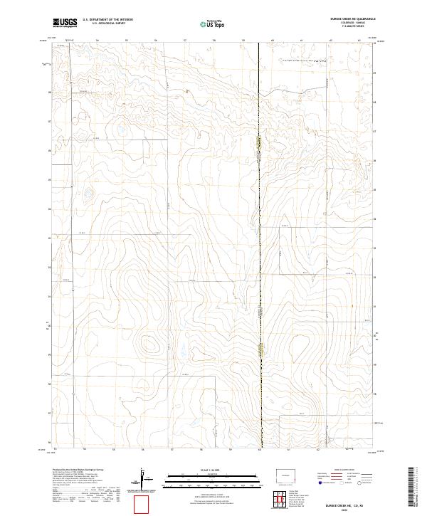
2022 Durkee Creek NE
Prowers County, CO
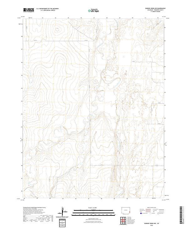
2022 Durkee Creek NW
Prowers County, CO
2022 Durkee Creek SE
Prowers County, CO
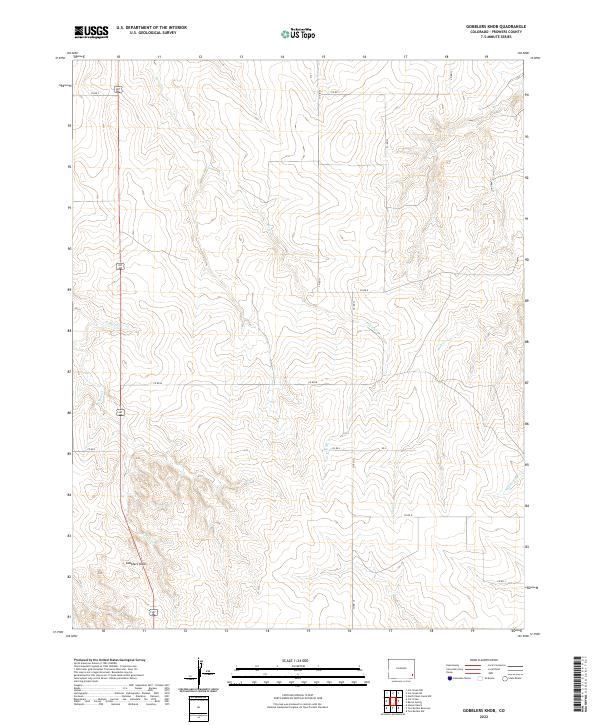
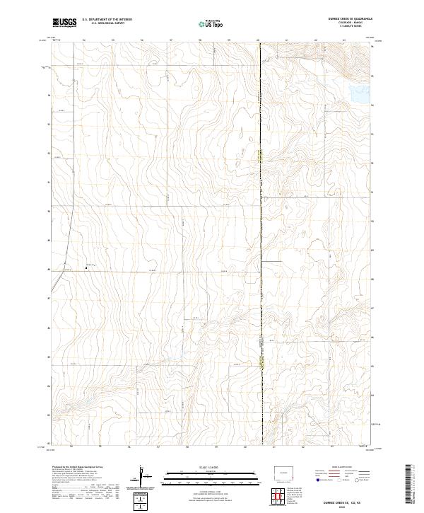
2022 Gobblers Knob
Prowers County, CO
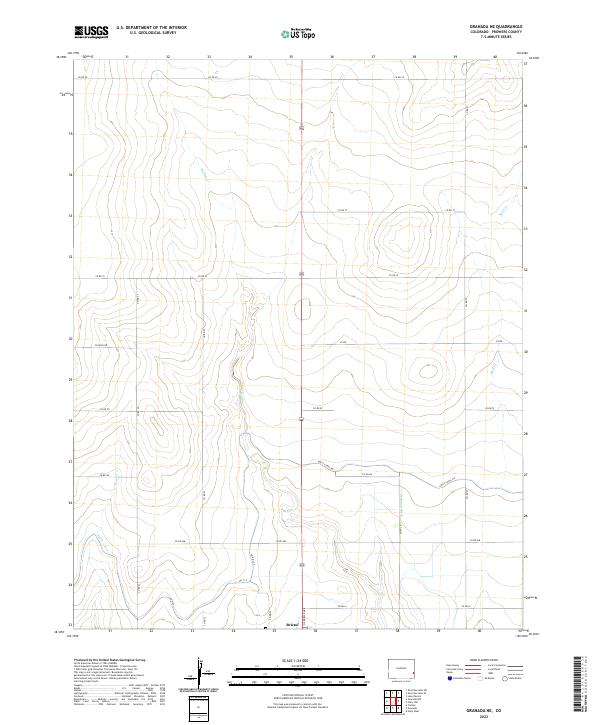
2022 Granada NE
Prowers County, CO
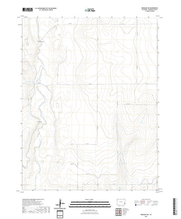
2022 Granada NW
Prowers County, CO
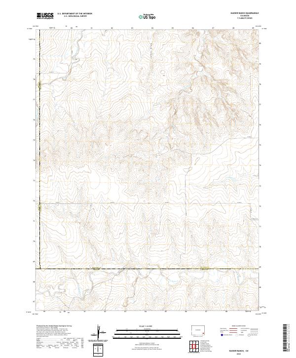
2022 Hasser Ranch
Prowers County, CO
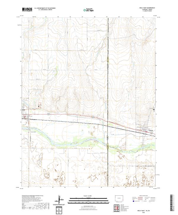
2022 Holly East
Prowers County, CO
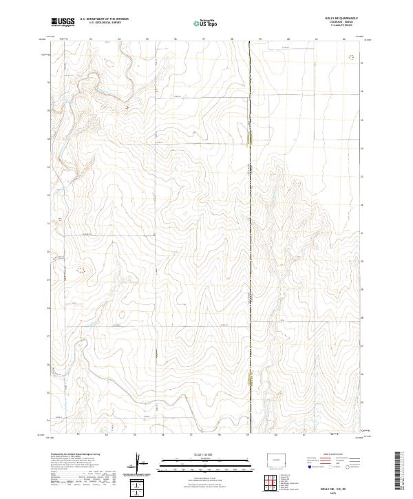
2022 Holly NE
Prowers County, CO
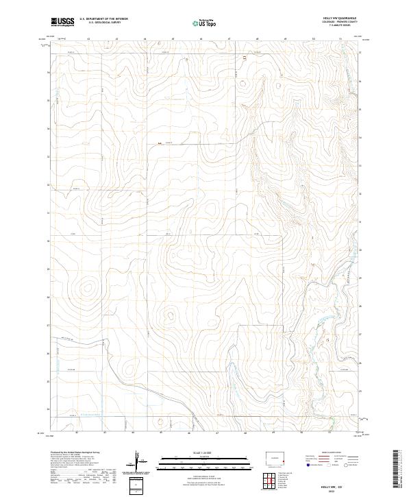
2022 Holly NW
Prowers County, CO
2022 Holly West
Prowers County, CO
2022 Lamar East
Prowers County, CO
2022 Lamar West
Prowers County, CO
2022 Lycan NE
Prowers County, CO
2022 May Valley
Prowers County, CO
2022 North Plum Creek NE
Prowers County, CO
2022 North Plum Creek NW
Prowers County, CO
2022 North Plum Creek SE
Prowers County, CO
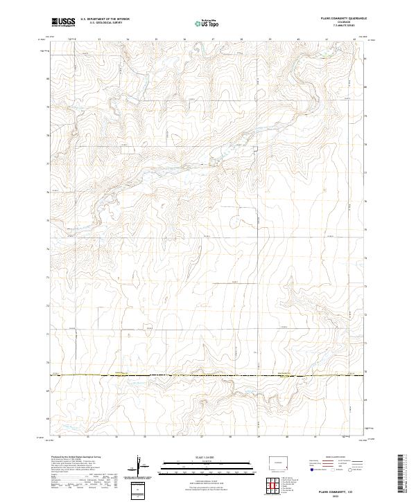
2022 Plains Community
Prowers County, CO
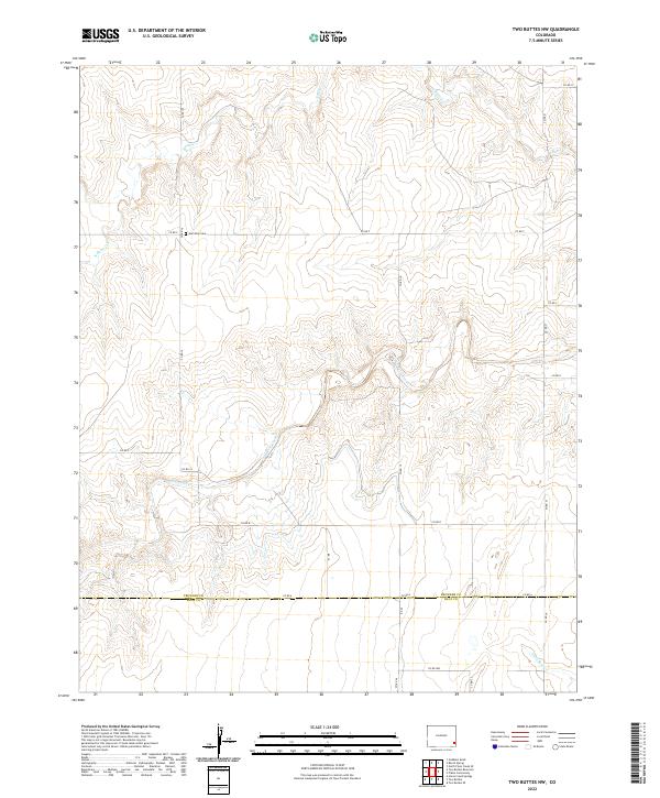
2022 Two Buttes NW
Prowers County, CO
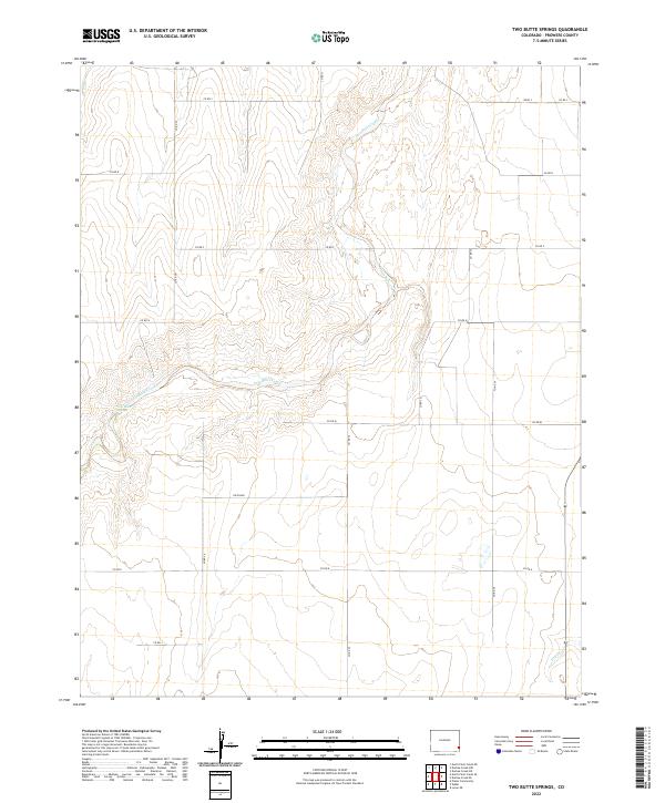
2022 Two Butte Springs
Prowers County, CO
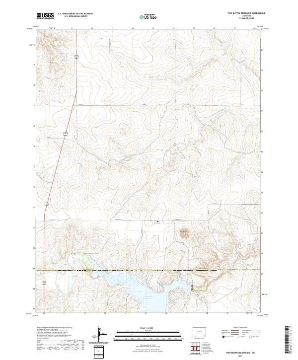
2022 Two Buttes Reservoir
Prowers County, CO
2022 Webb
Prowers County, CO