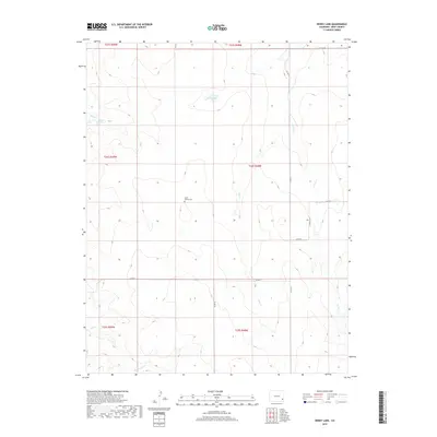
2019 Map of Denny Lake
USGS Topo · Published 2019About this map
Little Kansas Cem serves as a lone historical marker in this drainage basin of the Arkansas River valley. The landscape is defined by the ephemeral waterways of Mud Cr and Dry Cr, which carve shallow paths across the high plains of Bent County. Water management remains a critical feature of the terrain, noted by the presence of Denny Lake and the nearby Toedam Spring. A network of rural section-line roads, including Co RD 34 and Co RD V, provides access across the township lines where the shortgrass prairie meets seasonal creek beds like Rattlesnake Cr. The distribution of these roads and the solitary cemetery suggest a pattern of localized ranching and homesteading characteristic of southeastern Colorado’s cattle country.
Find a feature on this map
21 named features on this map. Tap any name to fly to it.
Don’t see what you’re looking for? This feature index may not catch every label — zoom into the map to look around manually.
Map Details
Editions of this 2019 Denny Lake Map
This is the sole edition of this map. No revisions or reprints were ever made.
Other maps of this area

1892 · Lamar
USGS Topo · 1:125,000

1892 · Two Butte
USGS Topo · 1:125,000

1893 · Two Butte
USGS Topo · 1:125,000

1952 · Lamar West
USGS Topo · 1:24,000

1953 · Hasty
USGS Topo · 1:24,000

1953 · Prowers
USGS Topo · 1:24,000

1954 · Lamar
USGS Topo · 1:250,000

1955 · La Junta
USGS Topo · 1:250,000

1958 · La Junta
USGS Topo · 1:250,000

1958 · Lamar
USGS Topo · 1:250,000