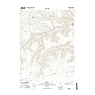
2016 Map of Dents Run
USGS Topo · Published 2016About this map
Bennett Branch Sinnemahoning Creek carves a deep valley through this portion of Elk County, defining the settlement patterns and transportation corridors of the region. The small community of Dents Run sits along this waterway at the junction with the stream of the same name, while Sumerson and Wilmer occupy higher ground and side hollows nearby. Local heritage is preserved at the Johnson Cem, situated near the winding Johnson Run.
Find a feature on this map
75 named features on this map. Tap any name to fly to it.
Don’t see what you’re looking for? This feature index may not catch every label — zoom into the map to look around manually.
Map Details
Editions of this 2016 Dents Run Map
This is the sole edition of this map. No revisions or reprints were ever made.
Other maps of this area

1929 · Karthaus
USGS Topo · 1:62,500

1929 · Clearfield
USGS Topo · 1:48,000

1932 · Clearfield
USGS Topo · 1:62,500

1932 · Karthaus
USGS Topo · 1:62,500

1941 · Benezette
USGS Topo · 1:62,500

1943 · Benezette
USGS Topo · 1:62,500

1945 · Driftwood
USGS Topo · 1:48,000

1945 · Driftwood
USGS Topo · 1:24,000

1945 · Cameron
USGS Topo · 1:24,000

1947 · Cameron
USGS Topo · 1:24,000
Featured Places
- Benezette Township, PA
- Grant, Benezette Township
- Sumerson, Benezette Township
- Gibson Township, PA
- Dents Run, Benezette Township