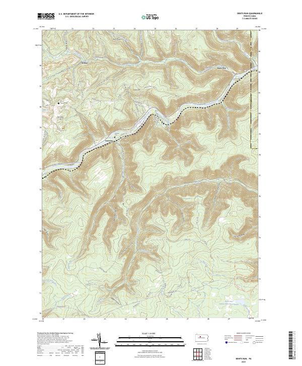
2023 Map of Dents Run
USGS Topo · Published 2023About this map
Bennett Branch Sinnemahoning Creek winds through this section of the Pennsylvania wilds, carving a deep valley that dictates the region's settlement and transportation patterns. Small clusters of activity such as Sumerson and Wilmer occupy the more level ground near the water, while the surrounding landscape is defined by a dense network of hollows and drafts like Porcupine Hollow and Bell Draft.
Find a feature on this map
74 named features on this map. Tap any name to fly to it.
Don’t see what you’re looking for? This feature index may not catch every label — zoom into the map to look around manually.
Map Details
Editions of this 2023 Dents Run Map
This is the sole edition of this map. No revisions or reprints were ever made.
Other maps of this area

1929 · Karthaus
USGS Topo · 1:62,500

1929 · Clearfield
USGS Topo · 1:48,000

1932 · Clearfield
USGS Topo · 1:62,500

1932 · Karthaus
USGS Topo · 1:62,500

1941 · Benezette
USGS Topo · 1:62,500

1943 · Benezette
USGS Topo · 1:62,500

1945 · Driftwood
USGS Topo · 1:48,000

1945 · Driftwood
USGS Topo · 1:24,000

1945 · Cameron
USGS Topo · 1:24,000

1947 · Cameron
USGS Topo · 1:24,000
Featured Places
- Benezette Township, PA
- Gibson Township, PA
- Grant, Benezette Township
- Wilmer, Benezette Township
- Sumerson, Benezette Township