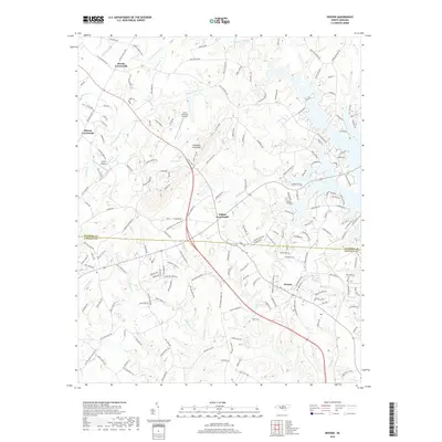
2019 Map of Denver
USGS Topo · Published 2019About this map
Denver serves as a primary settlement hub along the southeastern edge of this survey, where the landscape transitions from the residential developments near the lake toward the rising prominence of Anderson Mountain. The area is defined by a network of crossroads communities that mark important historical intersections, including Drums Crossroads, Killian Crossroads, and Olivers Crossroads. These points of interest, along with local aviation markers like Laneys Airport and Little Mountain Airport, reflect the region's mid-century growth and its reliance on regional road networks.
Find a feature on this map
182 named features on this map. Tap any name to fly to it.
Don’t see what you’re looking for? This feature index may not catch every label — zoom into the map to look around manually.
Map Details
Editions of this 2019 Denver Map
This is the sole edition of this map. No revisions or reprints were ever made.
Other maps of this area

1893 · Statesville
USGS Topo · 1:125,000

1895 · Hickory
USGS Topo · 1:125,000

1914 · Gastonia
USGS Topo · 1:48,000

1916 · Gastonia
USGS Topo · 1:62,500

1941 · Charlotte
USGS Topo · 1:125,000

1942 · Charlotte
USGS Topo · 1:125,000

1949 · Hicks Crossroads
USGS Topo · 1:24,000

1953 · Charlotte
USGS Topo · 1:250,000

1954 · Charlotte
USGS Topo · 1:250,000

1960 · Charlotte
USGS Topo · 1:250,000