
1971 Map of Denver City SW
USGS Topo · Published 1974About this map
The Russell Oil Field and Brown Oil Field dominate this West Texas landscape, illustrating the intense mid-century industrialization of the Permian Basin. This survey by the Department of the Interior and the State of Texas records an intricate infrastructure of energy production, where a network of pipelines connects numerous wells and specialized facilities like a Gas Plant and Substa.
Find a feature on this map
11 named features on this map. Tap any name to fly to it.
Don’t see what you’re looking for? This feature index may not catch every label — zoom into the map to look around manually.
Map Details
Editions of this 1971 Denver City SW Map
This is the sole edition of this map. No revisions or reprints were ever made.
Other maps of this area

1954 · Hobbs
USGS Topo · 1:250,000

1958 · Hobbs
USGS Topo · 1:250,000

1969 · Hobbs East
USGS Topo · 1:24,000

1969 · Humble City NE
USGS Topo · 1:24,000

1969 · Humble City SE
USGS Topo · 1:24,000

1970 · Humble City SE
USGS Topo · 1:24,000

1971 · Paynes Corner
USGS Topo · 1:24,000

1971 · Higginbotham
USGS Topo · 1:24,000
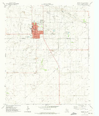
1971 · Denver City
USGS Topo · 1:24,000
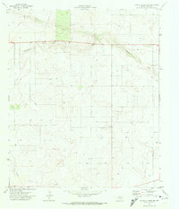
1971 · Paynes Corner NW
USGS Topo · 1:24,000