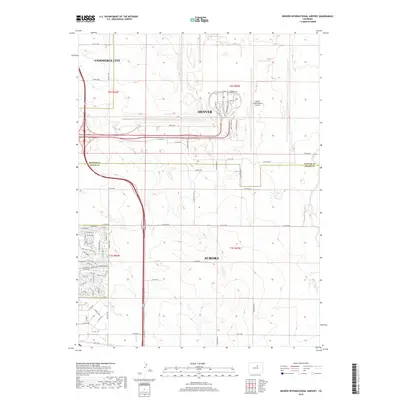
2019 Map of Denver International Airport
USGS Topo · Published 2019About this map
Denver International Airport dominates the northeastern landscape of the Denver metropolitan area, showcasing a sprawling transportation infrastructure at the end of the twenty-tens. The map illustrates the complex layout of Pena Blvd and Terminal Rd, marking the transition from urban expansion to the semi-arid High Plains. To the west and south, the residential growth of Aurora and Commerce City pushes toward the airport perimeter, while established waterways like the High Line Canal and ephemeral streams such as Second Cr and Third Cr provide natural relief to the grid-heavy road network. The integration of recreational spaces is evident in the High Line Canal Trail and First Creek Trail, which snake through the developing suburbs. This modern survey reflects the tension between massive aviation infrastructure and the continued outward pulse of the Denver suburbs into formerly rural Adams County.
Find a feature on this map
75 named features on this map. Tap any name to fly to it.
Don’t see what you’re looking for? This feature index may not catch every label — zoom into the map to look around manually.
Map Details
Editions of this 2019 Denver International Airport Map
This is the sole edition of this map. No revisions or reprints were ever made.
Other maps of this area

1890 · East Denver
USGS Topo · 1:125,000

1935 · East Denver Nos. 3 and 4
USGS Topo · 1:48,000

1938 · Long Branch
USGS Topo · 1:24,000

1939 · Coal Creek
USGS Topo · 1:24,000

1940 · Brighton
USGS Topo · 1:31,680

1941 · Long Branch
USGS Topo · 1:31,680

1941 · Fitzsimons
USGS Topo · 1:31,680

1942 · Mile High Lakes
USGS Topo · 1:31,680

1942 · Box Elder School
USGS Topo · 1:31,680

1942 · Coal Creek
USGS Topo · 1:31,680