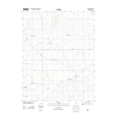
2013 Map of Deora
USGS Topo · Published 2013About this map
Deora and the surrounding high plains of Baca County are defined by a grid of county roads that cut across a landscape etched by intermittent drainage systems. The map captures a rural landscape where small named settlements like Frick and Atlanta serve as focal points in an otherwise sparsely populated ranching or farming region. Water is the primary architect of the terrain, with Two Butte Creek and its various tributaries, such as Freezout Creek and Cottonwood Creek, creating a network of draws and canyons.
Find a feature on this map
31 named features on this map. Tap any name to fly to it.
Don’t see what you’re looking for? This feature index may not catch every label — zoom into the map to look around manually.
Map Details
Editions of this 2013 Deora Map
This is the sole edition of this map. No revisions or reprints were ever made.
Other maps of this area

1891 · Higbee
USGS Topo · 1:125,000

1891 · Springfield
USGS Topo · 1:125,000

1892 · Two Butte
USGS Topo · 1:125,000

1892 · Mt Carrizo
USGS Topo · 1:125,000

1893 · Higbee
USGS Topo · 1:125,000

1893 · Two Butte
USGS Topo · 1:125,000

1893 · Springfield
USGS Topo · 1:125,000

1955 · La Junta
USGS Topo · 1:250,000

1958 · La Junta
USGS Topo · 1:250,000

1968 · La Junta
USGS Topo · 1:250,000