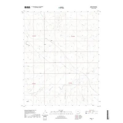
2019 Map of Deora
USGS Topo · Published 2019About this map
Deora and Frick anchor this corner of the High Plains in Baca County, where the landscape is defined by the winding course of Two Butte Creek and its many seasonal tributaries. This modern survey illustrates a network of section-line roads and named topographical features that have served local ranching operations for generations. To the north, Snake Arroyo cuts through the terrain, while the southern reaches are marked by the junction of Freezeout Cr and the larger creek system.
Find a feature on this map
28 named features on this map. Tap any name to fly to it.
Don’t see what you’re looking for? This feature index may not catch every label — zoom into the map to look around manually.
Map Details
Editions of this 2019 Deora Map
This is the sole edition of this map. No revisions or reprints were ever made.
Other maps of this area

1891 · Higbee
USGS Topo · 1:125,000

1891 · Springfield
USGS Topo · 1:125,000

1892 · Two Butte
USGS Topo · 1:125,000

1892 · Mt Carrizo
USGS Topo · 1:125,000

1893 · Higbee
USGS Topo · 1:125,000

1893 · Two Butte
USGS Topo · 1:125,000

1893 · Springfield
USGS Topo · 1:125,000

1955 · La Junta
USGS Topo · 1:250,000

1958 · La Junta
USGS Topo · 1:250,000

1968 · La Junta
USGS Topo · 1:250,000