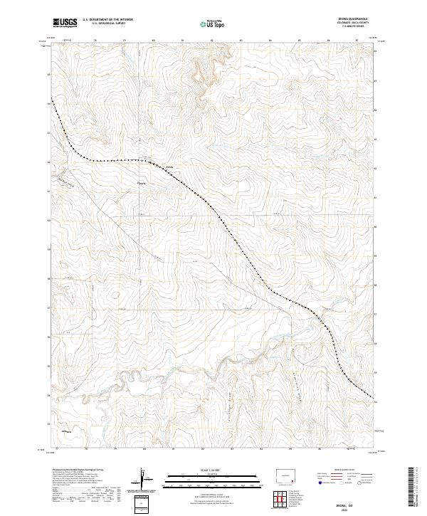
2022 Map of Deora
USGS Topo · Published 2022About this map
Deora sits at a remote crossroads in Baca County, characterized by a vast drainage network that cuts through the high plains landscape. This 2022 survey captures a sparsely settled region where small named localities like Frick and Atlanta mark the intersection of county roads such as Co RD 6 and Co RD SS. The terrain is defined by dramatic erosional features, including Shell Rock Canyon and Antelope Draw, which channel seasonal water toward Two Butte Creek.
Find a feature on this map
30 named features on this map. Tap any name to fly to it.
Don’t see what you’re looking for? This feature index may not catch every label — zoom into the map to look around manually.
Map Details
Editions of this 2022 Deora Map
This is the sole edition of this map. No revisions or reprints were ever made.
Other maps of this area

1891 · Higbee
USGS Topo · 1:125,000

1891 · Springfield
USGS Topo · 1:125,000

1892 · Two Butte
USGS Topo · 1:125,000

1892 · Mt Carrizo
USGS Topo · 1:125,000

1893 · Higbee
USGS Topo · 1:125,000

1893 · Two Butte
USGS Topo · 1:125,000

1893 · Springfield
USGS Topo · 1:125,000

1955 · La Junta
USGS Topo · 1:250,000

1958 · La Junta
USGS Topo · 1:250,000

1968 · La Junta
USGS Topo · 1:250,000