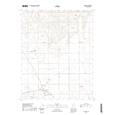
2020 Map of Des Moines
USGS Topo · Published 2020About this map
The settlement of Des Moines serves as the focal point of this northeastern New Mexico landscape, situated at the base of significant volcanic landforms. The terrain is defined by prominent elevations including Sierra Grande, Twin Mtn, and Carr Mtn, which rise above a network of drainages such as Travesser Cr and the N Br Corrumpa Cr. For local historians and genealogists, the map identifies essential community landmarks like the Des Moines Cem and the Catholic Cem, both located near the town center. The surrounding country is marked by numerous topographical features including Dunchee Hill, Purvine Mesa, and several canyons such as Fowler Canyon and Mitchel Canyon. The road network, including Old Folsom Rd and Amistad Rd, reflects the area's role as a regional crossroads in Union County, connecting the high plains settlements with the varied mountain and canyon topography to the north.
Find a feature on this map
36 named features on this map. Tap any name to fly to it.
Don’t see what you’re looking for? This feature index may not catch every label — zoom into the map to look around manually.
Map Details
Editions of this 2020 Des Moines Map
This is the sole edition of this map. No revisions or reprints were ever made.
Other maps of this area

1954 · Dalhart
USGS Topo · 1:250,000

1958 · Dalhart
USGS Topo · 1:250,000

1962 · Dalhart
USGS Topo · 1:250,000

1972 · Emery Peak
USGS Topo · 1:24,000

1972 · Little Grande
USGS Topo · 1:24,000
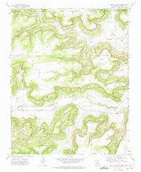
1972 · Cross L Ranch
USGS Topo · 1:24,000

1972 · Cross L Ranch SW
USGS Topo · 1:24,000
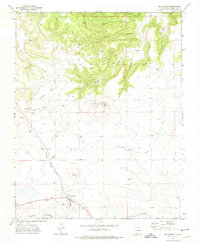
1972 · Des Moines
USGS Topo · 1:24,000

1972 · Capulin
USGS Topo · 1:24,000
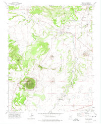
1972 · Folsom
USGS Topo · 1:24,000