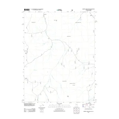
2012 Map of Desert Creek Peak
USGS Topo · Published 2012About this map
Desert Creek Peak dominates this high-desert terrain, where the Desert Creek Mountains and Wellington Hills shape a landscape defined by seasonal water sources and early agricultural efforts. The presence of the Wiley Ditch in the southeastern corner suggests a history of water management to support ranching or mining in the surrounding basins. Water remains the most critical resource for anyone navigating these valleys, as evidenced by numerous named outflows like O'Banion Spring, Fourth of July Spring, and Willow Spring.
Find a feature on this map
23 named features on this map. Tap any name to fly to it.
Don’t see what you’re looking for? This feature index may not catch every label — zoom into the map to look around manually.
Map Details
Editions of this 2012 Desert Creek Peak Map
This is the sole edition of this map. No revisions or reprints were ever made.
Other maps of this area

1891 · Wellington
USGS Topo · 1:125,000

1893 · Wellington
USGS Topo · 1:125,000

1909 · Bridgeport
USGS Topo · 1:125,000

1911 · Bridgeport
USGS Topo · 1:125,000

1920 · Bridgeport
USGS Topo · 1:125,000

1948 · Walker Lake
USGS Topo · 1:250,000

1954 · Chris Flat
USGS Topo · 1:24,000

1956 · Desert Creek Peak
USGS Topo · 1:62,500

1956 · Fales Hot Springs
USGS Topo · 1:62,500

1957 · Walker Lake
USGS Topo · 1:250,000