
1954 Map of Chris Flat
USGS Topo · Published 1955About this map
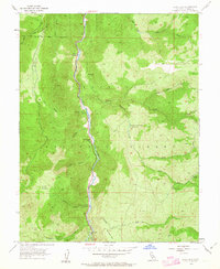
West Walker River carves a central corridor through this mountain landscape, which was part of the Toiyabe National Forest during this mid-century survey. The narrow valley floor preserves names that hint at early frontier utility and industry, such as Tollhouse Flat, Shingle Mill Flat, and China Garden. Higher elevations are defined by steep canyons including Mill Creek Canyon and Bootleg Canyon, while more level areas are found at Grouse Meadows and Burcham Flat.
Find a feature on this map
31 named features on this map. Tap any name to fly to it.
Don’t see what you’re looking for? This feature index may not catch every label — zoom into the map to look around manually.
Map Details
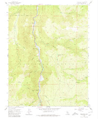
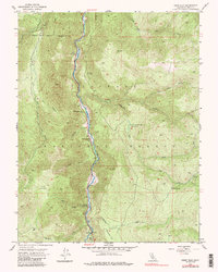
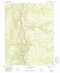
Editions of this 1954 Chris Flat Map
5 editions found
Other maps of this area

1889 · Markleeville
USGS Topo · 1:125,000

1891 · Markleeville
USGS Topo · 1:125,000

1891 · Wellington
USGS Topo · 1:125,000

1893 · Markleeville
USGS Topo · 1:125,000

1893 · Wellington
USGS Topo · 1:125,000

1896 · Dardanelles
USGS Topo · 1:125,000

1898 · Dardanelles
USGS Topo · 1:125,000

1909 · Bridgeport
USGS Topo · 1:125,000

1911 · Bridgeport
USGS Topo · 1:125,000

1920 · Bridgeport
USGS Topo · 1:125,000