Loading...
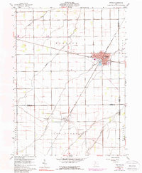
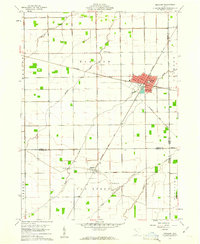
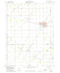
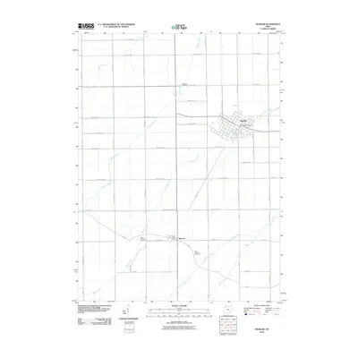
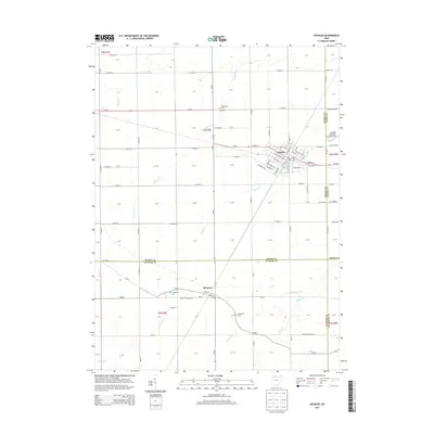
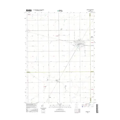
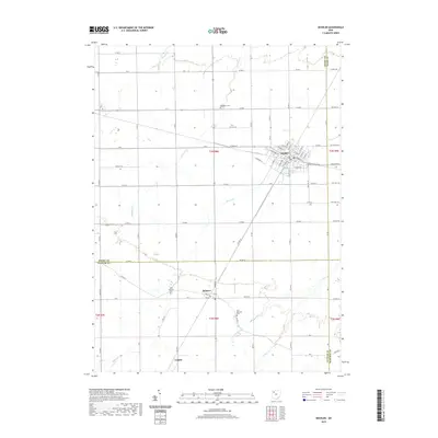
Loading map...1960 Map of Deshler
USGS Topo · Published 1988About this map
The Baltimore And Ohio railroad serves as the primary industrial axis for this portion of Northwest Ohio, anchoring the community of Deshler at a significant rail junction. The town's grid is well-defined by residential streets like Maple ST and Mulberry ST, extending toward a Trailer Park on the southeastern edge. This 1960s landscape, later updated with mid-1970s photogrammetric data, reveals a transition from the structured town center to the expansive agricultural tracts of Bartlow and Van Buren townships.
Find a feature on this map
28 named features on this map. Tap any name to fly to it.
Don’t see what you’re looking for? This feature index may not catch every label — zoom into the map to look around manually.
Map Details
Date Portrayed1960
Date Published1988
PublisherU.S. Geological Survey
Map TypeTopographic
Scale1:24,000
Physical Dimensions22.1 x 26.9 inches
Editions of this 1960 Deshler Map
3 editions found
Historical Maps of Leipsic Through Time
6 maps found

Featured Locations
- Liberty Township, OH
- Deshler Township, OH
- Deshler, Deshler Township
- Belmore, Van Buren Township
- Leipsic, Van Buren Township
Source Details
SourceU.S. Geological Survey
CopyrightPublic Domain