
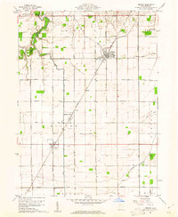
1960 Map of Deshler
USGS Topo · Published 1961About this map
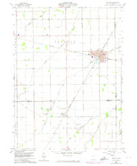
Deshler serves as the focal point of this Northwest Ohio landscape, situated at a major rail intersection where the Baltimore and Ohio lines converge. The town's grid is clearly defined by streets such as Mulberry St, Maple St, and Holmes St, reflecting its growth as a regional transportation hub. South of the main village, the smaller settlement of Belmore is positioned along the same rail corridor, surrounded by a network of agricultural lands defined by drainage systems like Hammer Creek and Brush Creek. This 1960s survey captures the era's rural life through its distribution of local institutions, including Oakdale Ch and several family or community burial grounds like Woodlawn Cem, West Belmore Cem, and East Belmore Cem. The map illustrates the transition between Henry, Wood, and Putnam counties, where the flat terrain required extensive water management via features like Beaver Creek and Yellow Creek.
Find a feature on this map
25 named features on this map. Tap any name to fly to it.
Don’t see what you’re looking for? This feature index may not catch every label — zoom into the map to look around manually.
Map Details
Editions of this 1960 Deshler Map
3 editions found
Other maps of this area

1908 · Ottawa
USGS Topo · 1:62,500

1908 · Napoleon
USGS Topo · 1:62,500

1909 · Mc Clure
USGS Topo · 1:62,500

1953 · Fort Wayne
USGS Topo · 1:250,000

1956 · Fort Wayne
USGS Topo · 1:250,000

1956 · Toledo
USGS Topo · 1:250,000

1960 · Ottawa
USGS Topo · 1:24,000
1960 · Hamler
USGS Topo · 1:24,000
1960 · Malinta
USGS Topo · 1:24,000
1960 · Weston
USGS Topo · 1:24,000