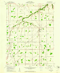
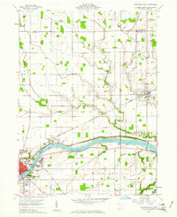
1960 Map of Malinta
USGS Topo · Published 1961About this map
The village of Malinta sits at a busy rail intersection in the early 1960s, where the Detroit Toledo and Ironton meets the New York Central and the Chicago and St Louis lines. This industrial and agricultural hub is defined by the winding course of South Turkeyfoot Creek, which carves a path through the townships of Harrison and Monroe. The landscape is a patchwork of cultivated fields and woodlots, connected by a network of drainage systems like the Brinkman Ditch. Rural life is centered around community landmarks such as St Paul Ch and St John Ch, while small crossroads settlements like Grelton and Elery anchor the surrounding farmland. The map also records the modern infrastructure of the era, including a pipeline corridor and a microwave tower south of South Turkeyfoot Creek.
Find a feature on this map
27 named features on this map. Tap any name to fly to it.
Don’t see what you’re looking for? This feature index may not catch every label — zoom into the map to look around manually.
Map Details
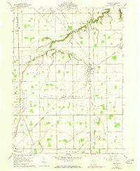
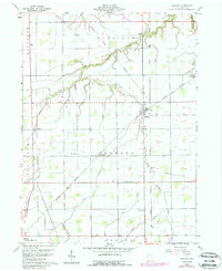
Editions of this 1960 Malinta Map
3 editions found
Other maps of this area

1908 · Ottawa
USGS Topo · 1:62,500

1908 · Napoleon
USGS Topo · 1:62,500

1909 · Mc Clure
USGS Topo · 1:62,500

1953 · Fort Wayne
USGS Topo · 1:250,000

1956 · Fort Wayne
USGS Topo · 1:250,000

1956 · Toledo
USGS Topo · 1:250,000

1959 · Florida
USGS Topo · 1:24,000
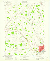
1959 · Napoleon West
USGS Topo · 1:24,000

1960 · Deshler
USGS Topo · 1:24,000
1960 · Napoleon East
USGS Topo · 1:24,000