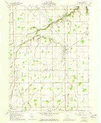
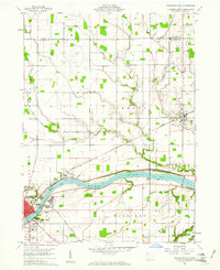
1960 Map of Malinta
USGS Topo · Published 1972About this map
The village of Malinta sits at the crossing of major rail lines in rural Henry County during the early 1960s, reflecting a landscape shaped by transportation and agriculture. The Detroit Toledo And Ironton and the Norfolk and Western railroads intersect here, providing the backbone for small outposts like Elery and Grelton. The terrain is defined by a dense network of watercourses and drainage features, including South Turkeyfoot Creek and the long, straight cut of Brinkman Ditch.
Find a feature on this map
26 named features on this map. Tap any name to fly to it.
Don’t see what you’re looking for? This feature index may not catch every label — zoom into the map to look around manually.
Map Details
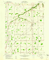
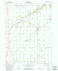
Editions of this 1960 Malinta Map
3 editions found
Other maps of this area

1908 · Ottawa
USGS Topo · 1:62,500

1908 · Napoleon
USGS Topo · 1:62,500

1909 · Mc Clure
USGS Topo · 1:62,500

1953 · Fort Wayne
USGS Topo · 1:250,000

1956 · Fort Wayne
USGS Topo · 1:250,000

1956 · Toledo
USGS Topo · 1:250,000

1959 · Florida
USGS Topo · 1:24,000
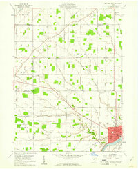
1959 · Napoleon West
USGS Topo · 1:24,000

1960 · Deshler
USGS Topo · 1:24,000
1960 · Napoleon East
USGS Topo · 1:24,000