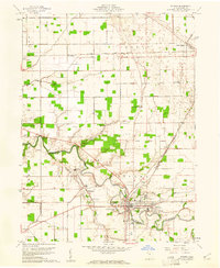
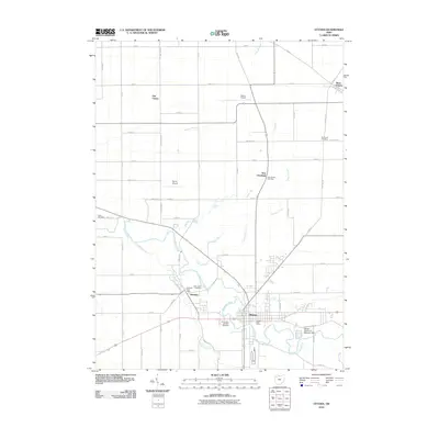
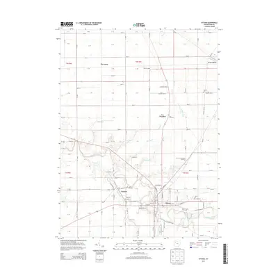
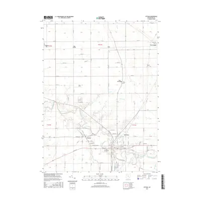
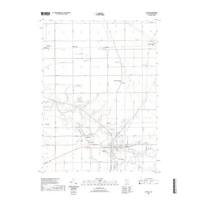
1960 Map of Ottawa
USGS Topo · Published 1961About this map
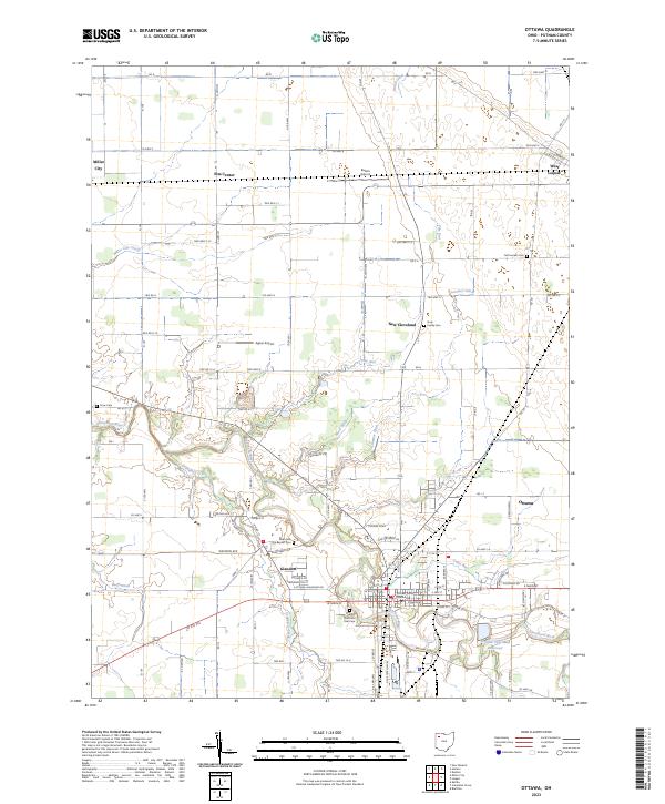
The Blanchard River meanders through this portion of Putnam County, anchoring the commercial and social life of Ottawa and neighboring Glandorf. This 1960 era survey reveals a landscape where mid-century infrastructure, such as the Microwave Tower and a Drive-in Theater, sits alongside deep-rooted community landmarks like SS Peter and Paul Cem and the County Fairground. The influence of the Old Indian Treaty Boundary is still visible in the underlying land divisions, cutting a diagonal path across the rectilinear grid of the local townships.
Find a feature on this map
33 named features on this map. Tap any name to fly to it.
Don’t see what you’re looking for? This feature index may not catch every label — zoom into the map to look around manually.
Map Details
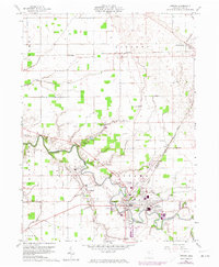
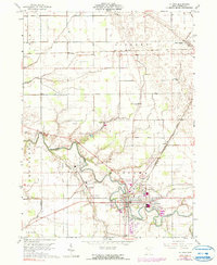
Editions of this 1960 Ottawa Map
3 editions found
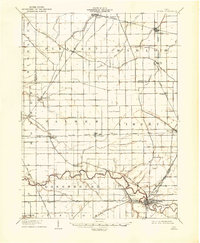
Historical Maps of Ottawa Through Time
7 maps found
Featured Locations
- Glandorf Township, OH
- Elm Center, Liberty Township
- West Leipsic, Liberty Township
- Glandorf, Glandorf Township
- Ottawa, Glandorf Township