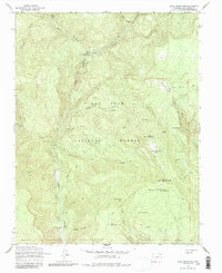
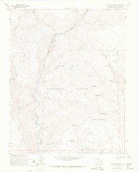
1964 Map of Devil Mountain
USGS Topo · Published 1987About this map
San Juan National Forest defines this high-elevation landscape in southern Colorado, where the First Fork Piedra River cuts a deep path between timbered peaks. Surveyed in the mid-1960s, the terrain is defined by a network of historic access routes, including the First Fork Pack Trail and the River Pack Trail. These paths connect remote outposts like Tres Piedras Ranch and established seasonal sites such as Hunter Campground. High points like Devil Mountain, topped by the Devil Mountain Lookout Tower, provided critical vantage points for forest management. The presence of Prospects in the high canyons suggests early mineral exploration, while the numerous water sources like Mesa Spring No 1 and Horse Mountain Springs indicate a landscape heavily utilized for both timber management and seasonal grazing.
Find a feature on this map
44 named features on this map. Tap any name to fly to it.
Don’t see what you’re looking for? This feature index may not catch every label — zoom into the map to look around manually.
Map Details
Editions of this 1964 Devil Mountain Map
4 editions found
Other maps of this area

1924 · Pagosa Springs
USGS Topo · 1:125,000

1927 · Pagosa Springs
USGS Topo · 1:125,000

1945 · Durango
USGS Topo · 1:250,000

1953 · Durango
USGS Topo · 1:250,000

1954 · Durango
USGS Topo · 1:250,000

1957 · Pagosa Junction
USGS Topo · 1:62,500

1961 · Durango
USGS Topo · 1:250,000

1963 · Durango
USGS Topo · 1:250,000
1964 · Chris Mountain
USGS Topo · 1:24,000
1964 · Devil Mountain
USGS Topo · 1:24,000