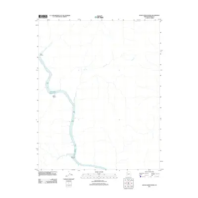
2011 Map of Devils Slide Rapids
USGS Topo · Published 2011About this map
Devils Slide Rapids churns within a winding canyon corridor where the Colorado River carves through the Mohave County desert. This landscape is defined by its dramatic verticality, with steep side-drainages like Burnt Canyon and Jackson Canyon feeding into the main river channel. The topographic data reveals a complex network of ephemeral waterways, including the long reach of Salt Creek and the smaller Reference Point Creek near the southern bend. Inland from the riverbanks, isolated water sources like Red Rock Spring provide rare points of relief in the arid terrain. The geography here is marked by significant elevation changes, particularly evident around Horse Flat Canyon, illustrating the erosive power of the Colorado River system as it moves toward the southwest.
Find a feature on this map
8 named features on this map. Tap any name to fly to it.
Don’t see what you’re looking for? This feature index may not catch every label — zoom into the map to look around manually.
Map Details
Editions of this 2011 Devils Slide Rapids Map
This is the sole edition of this map. No revisions or reprints were ever made.
Other maps of this area

1886 · Diamond Creek
USGS Topo · 1:250,000

1886 · Mt. Trumbull
USGS Topo · 1:250,000

1892 · Diamond Creek
USGS Topo · 1:250,000

1892 · Mt. Trumbull
USGS Topo · 1:250,000

1948 · Williams
USGS Topo · 1:250,000

1953 · Grand Canyon
USGS Topo · 1:250,000

1954 · Williams
USGS Topo · 1:250,000

1956 · Williams
USGS Topo · 1:250,000

1957 · Grand Canyon
USGS Topo · 1:250,000

1958 · Grand Canyon
USGS Topo · 1:250,000