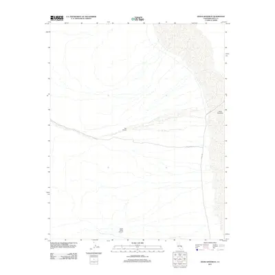
2012 Map of Devils Speedway
USGS Topo · Published 2012About this map
Devils Speedway dominates the eastern margin of this Inyo County survey, where the arid basin floor meets the alluvial fans of the surrounding highlands. The landscape is defined by vast drainage patterns and the isolated tracks of Trail Canyon Rd and the W Side Hwy (West Side Highway) as they navigate the desert floor. To the west, the topographic relief deepens significantly into the steep-walled Trail Canyon and Death Valley Canyon, illustrating the extreme elevation changes characteristic of this region. This 2012 record captures the remote infrastructure of the area, providing a clear view of the sparse desert routes and natural drainage features before any modern alterations or shifts in the watercourses occurred.
Find a feature on this map
5 named features on this map. Tap any name to fly to it.
Don’t see what you’re looking for? This feature index may not catch every label — zoom into the map to look around manually.
Map Details
Editions of this 2012 Devils Speedway Map
This is the sole edition of this map. No revisions or reprints were ever made.
Other maps of this area

1908 · Furnace Creek
USGS Topo · 1:250,000

1908 · Ballarat
USGS Topo · 1:250,000

1910 · Furnace Creek
USGS Topo · 1:250,000

1913 · Ballarat
USGS Topo · 1:250,000

1948 · Death Valley
USGS Topo · 1:250,000

1952 · Furnace Creek
USGS Topo · 1:62,500

1952 · Bennetts Well
USGS Topo · 1:62,500

1952 · Telescope Peak
USGS Topo · 1:62,500

1952 · Emigrant Canyon
USGS Topo · 1:62,500

1954 · Death Valley
USGS Topo · 1:250,000