Loading...
Loading map...2024 Map of Dewey
USGS Topo · Published 2024About this map
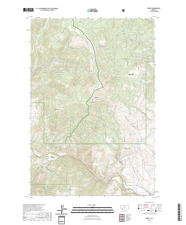
Dewey sits along the northern bank of the Big Hole River, marking a point of transition between the towering Pioneer Mountains to the south and the high ridges of the Beaverhead National Forest and Deerlodge National Forest to the north. The landscape is defined by its dramatic verticality, rising from the river valley through Nez Perce Gulch and Limekiln Gulch to the summit of Mt Fleecer.
Find a feature on this map
45 named features on this map. Tap any name to fly to it.
Don’t see what you’re looking for? This feature index may not catch every label — zoom into the map to look around manually.
Map Details
Date Portrayed2024
Date Published2024
PublisherU.S. Geological Survey
Map TypeTopographic
Scale1:24000
Physical Dimensions24 x 29 inches
Editions of this 2024 Dewey Map
This is the sole edition of this map. No revisions or reprints were ever made.
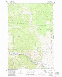
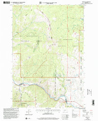
Historical Maps of Dewey Through Time
3 maps found
Featured Locations
Source Details
SourceU.S. Geological Survey
CopyrightPublic Domain