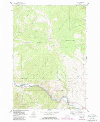
1961 Map of Dewey
USGS Topo · Published 1989About this map
The Big Hole River carves through this mountain landscape at the boundary of Silver Bow and Beaverhead counties. The settlement pattern is defined by early transportation and water management, evidenced by the Old Railroad Grade following the river's bend and a series of aqueducts tracing the lower slopes of Fleecer Ridge. Infrastructure for the region's utility needs is visible at the Big Hole Pumping Sta, while local community life is anchored at the Dewey Cem and the Divide Sch further north.
Find a feature on this map
40 named features on this map. Tap any name to fly to it.
Don’t see what you’re looking for? This feature index may not catch every label — zoom into the map to look around manually.
Map Details
Editions of this 1961 Dewey Map
3 editions found
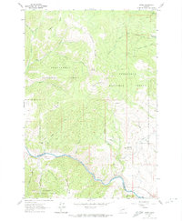
Other maps of this area

1893 · Dillon
USGS Topo · 1:250,000

1955 · Dillon
USGS Topo · 1:250,000

1957 · Dillon
USGS Topo · 1:250,000

1958 · Dillon
USGS Topo · 1:250,000

1958 · Vipond Park
USGS Topo · 1:62,500

1961 · Melrose
USGS Topo · 1:24,000
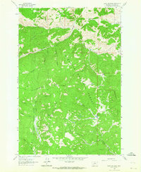
1961 · Burnt Mountain
USGS Topo · 1:24,000
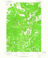
1961 · Dickie Peak
USGS Topo · 1:24,000

1961 · Butte South
USGS Topo · 1:62,500

1961 · Dewey
USGS Topo · 1:24,000