
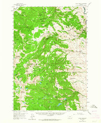
1958 Map of Vipond Park
USGS Topo · Published 1959About this map
Mining operations and high-altitude ranching define this late 1950s survey of the Beaverhead National Forest. The landscape is dotted with legacies of the region's extraction history, from the concentrated Hecla Mines near Lion Mtn to isolated claims like the Mammoth Mine and Queen of the Hills Mine. In the northeast, the settlement of Glendale sits near a Cem and the historic Old Railroad Grade, marking a shift from the steep peaks to more accessible terrain.
Find a feature on this map
110 named features on this map. Tap any name to fly to it.
Don’t see what you’re looking for? This feature index may not catch every label — zoom into the map to look around manually.
Map Details
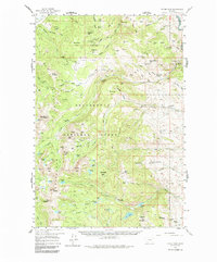
Editions of this 1958 Vipond Park Map
3 editions found
Other maps of this area

1893 · Dillon
USGS Topo · 1:250,000

1952 · Twin Adams Mountain
USGS Topo · 1:24,000

1952 · Torrey Mountain
USGS Topo · 1:24,000

1955 · Dillon
USGS Topo · 1:250,000

1957 · Dillon
USGS Topo · 1:250,000

1958 · Dillon
USGS Topo · 1:250,000

1959 · Polaris
USGS Topo · 1:62,500

1960 · Glen
USGS Topo · 1:24,000

1961 · Melrose
USGS Topo · 1:24,000

1961 · Earls Gulch
USGS Topo · 1:24,000