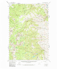
1958 Map of Vipond Park
USGS Topo · Published 1986About this map
The high alpine mining camps and high country of the Pioneer Mountains define this mid-century survey of the Beaverhead National Forest. At the heart of the district, the Hecla Mines and several individual workings like the Monte Cristo Mine and Lone Pine Mine testify to the region's mineral-rich history. A forgotten Old Railroad Grade winds through the northwestern corner near Happy Camp, while specialized landmarks such as the Canyon Creek Guard Sta and Rock Creek Guard Sta reflect the management of these public lands. The terrain is a complex network of peaks including Gray Jockey Peak, Lion Mtn, and Brownes Peak, interspersed with numerous high-elevation water bodies like Lake Agnes and Brownes Lake. Scattered ranching outposts such as Siriu Ranch and Spritzer Ranch mark the lower elevations where the wilderness transitions into established grazing lands.
Find a feature on this map
109 named features on this map. Tap any name to fly to it.
Don’t see what you’re looking for? This feature index may not catch every label — zoom into the map to look around manually.
Map Details
Editions of this 1958 Vipond Park Map
3 editions found
Other maps of this area

1893 · Dillon
USGS Topo · 1:250,000

1952 · Twin Adams Mountain
USGS Topo · 1:24,000

1952 · Torrey Mountain
USGS Topo · 1:24,000

1955 · Dillon
USGS Topo · 1:250,000

1957 · Dillon
USGS Topo · 1:250,000

1958 · Dillon
USGS Topo · 1:250,000

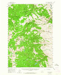
1958 · Vipond Park
USGS Topo · 1:62,500

1959 · Polaris
USGS Topo · 1:62,500

1960 · Glen
USGS Topo · 1:24,000

1961 · Melrose
USGS Topo · 1:24,000