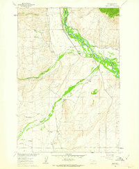
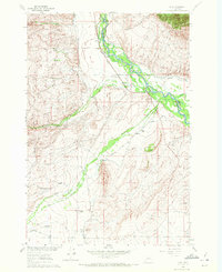
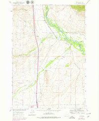
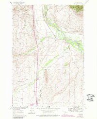
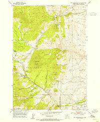
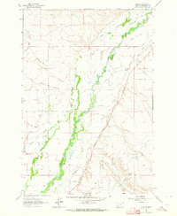
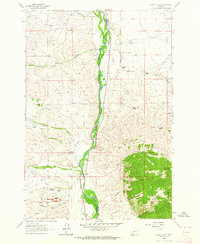
1960 Map of Glen
USGS Topo · Published 1963About this map
The Big Hole River dominates this portion of southwestern Montana, carving a complex path of braided channels and riparian islands between Beaverhead and Madison counties. This 1960 field-checked survey reveals an agricultural landscape heavily dependent on irrigation infrastructure, such as the Garrison Ditch, Mantle Ditch, and the Kalsta Drain. The small settlement of Glen serves as a focal point along the Union Pacific railroad line, which runs parallel to the river valley. Local life in the mid-twentieth century is anchored by family-named landmarks and rural institutions, including the Haining Cem and several neighborhood schoolhouses like Reeble Sch, Buhrer Sch, and Birch Creek Sch. From the high point at Apex to the South Channel of Birch Creek, the map details a network of ranching operations including the Haining Ranch and Mantle Ranch.
Find a feature on this map
30 named features on this map. Tap any name to fly to it.
Don’t see what you’re looking for? This feature index may not catch every label — zoom into the map to look around manually.
Map Details
Editions of this 1960 Glen Map
4 editions found
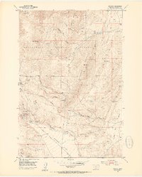
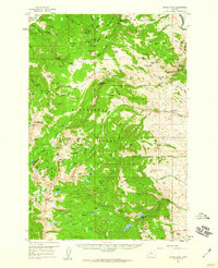
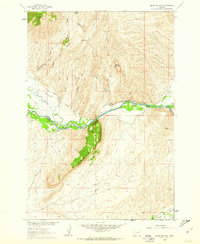
Other maps of this area

1893 · Dillon
USGS Topo · 1:250,000
1952 · Twin Adams Mountain
USGS Topo · 1:24,000
1952 · Argenta
USGS Topo · 1:24,000

1955 · Dillon
USGS Topo · 1:250,000

1957 · Dillon
USGS Topo · 1:250,000

1958 · Dillon
USGS Topo · 1:250,000
1958 · Vipond Park
USGS Topo · 1:62,500
1960 · Block Mountain
USGS Topo · 1:24,000
1961 · Glen SE
USGS Topo · 1:24,000
1961 · Earls Gulch
USGS Topo · 1:24,000