
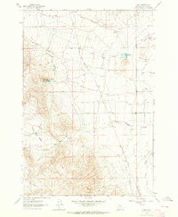
1961 Map of Glen SE
USGS Topo · Published 1964About this map
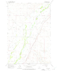
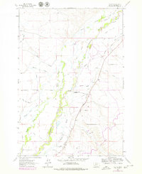
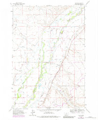
The Beaverhead River defines the heart of this landscape, its wandering course supporting an intricate network of irrigation ditches essential to Montana agriculture in the early 1960s. Family names are etched into the hydrology of the valley, from the Staudaher West Side Ditch and Staudaher East Side Ditch in the north to the Stodden Ditch and Lower Johnson Ditch further south.
Find a feature on this map
32 named features on this map. Tap any name to fly to it.
Don’t see what you’re looking for? This feature index may not catch every label — zoom into the map to look around manually.
Map Details
Editions of this 1961 Glen SE Map
4 editions found
Other maps of this area

1893 · Dillon
USGS Topo · 1:250,000

1955 · Dillon
USGS Topo · 1:250,000

1957 · Dillon
USGS Topo · 1:250,000

1958 · Dillon
USGS Topo · 1:250,000

1960 · Glen
USGS Topo · 1:24,000

1960 · Block Mountain
USGS Topo · 1:24,000

1961 · Christensen Ranch
USGS Topo · 1:24,000

1962 · Dillon
USGS Topo · 1:250,000
1962 · Beaverhead Rock
USGS Topo · 1:24,000
1962 · Bond
USGS Topo · 1:24,000