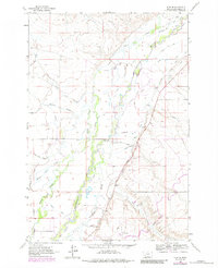
1961 Map of Glen SE
USGS Topo · Published 1984About this map
The Beaverhead River winds through this section of Beaverhead County, defining a landscape dominated by a sophisticated network of irrigation canals and natural waterways. This 1961 survey, with revisions from 1979, illustrates the complex agricultural infrastructure that has sustained the region's ranching and farming operations. Named ditches like the Staudaher Bishop Ditch, Larson DITCH, and Smith Ditch trace the valley floor, alongside a series of meandering watercourses including Selway Slough, Murray Slough, and Albers Slough.
Find a feature on this map
34 named features on this map. Tap any name to fly to it.
Don’t see what you’re looking for? This feature index may not catch every label — zoom into the map to look around manually.
Map Details
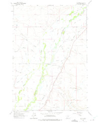
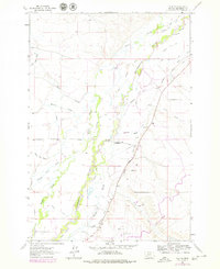
Editions of this 1961 Glen SE Map
4 editions found
Other maps of this area

1893 · Dillon
USGS Topo · 1:250,000

1955 · Dillon
USGS Topo · 1:250,000

1957 · Dillon
USGS Topo · 1:250,000

1958 · Dillon
USGS Topo · 1:250,000

1960 · Glen
USGS Topo · 1:24,000

1960 · Block Mountain
USGS Topo · 1:24,000

1961 · Glen SE
USGS Topo · 1:24,000

1961 · Christensen Ranch
USGS Topo · 1:24,000

1962 · Dillon
USGS Topo · 1:250,000
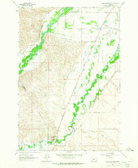
1962 · Beaverhead Rock
USGS Topo · 1:24,000