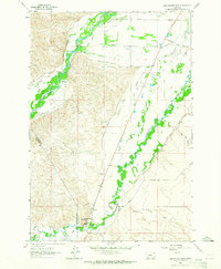
1962 Map of Beaverhead Rock
USGS Topo · Published 1964About this map
The confluence and intricate water systems of the Big Hole River and Beaverhead River define this portion of Madison Co. Published in the early 1960s, the map reveals a landscape heavily modified for agriculture through an extensive network of irrigation works, including the Balkovetz Giem Standovich Whiting Ditch and Burma Canal. These long, hyphenated ditch names suggest the cooperative effort of local ranching families to manage water in this semi-arid valley.
Find a feature on this map
37 named features on this map. Tap any name to fly to it.
Don’t see what you’re looking for? This feature index may not catch every label — zoom into the map to look around manually.
Map Details
Editions of this 1962 Beaverhead Rock Map
2 editions found
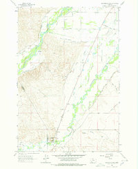
Other maps of this area

1893 · Dillon
USGS Topo · 1:250,000

1955 · Dillon
USGS Topo · 1:250,000

1957 · Dillon
USGS Topo · 1:250,000

1958 · Dillon
USGS Topo · 1:250,000

1960 · Block Mountain
USGS Topo · 1:24,000

1960 · Twin Bridges
USGS Topo · 1:62,500

1961 · Glen SE
USGS Topo · 1:24,000

1961 · Nez Perce Hollow
USGS Topo · 1:24,000

1961 · Beaverhead Rock SE
USGS Topo · 1:24,000

1962 · Dillon
USGS Topo · 1:250,000